


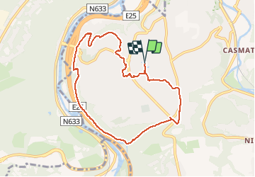


11.6 km | 16.5 km-effort

User GUIDE


FREE GPS app for hiking
 SityTrail
IGN / Geographical institutes
SityTrail World
The world is yours!
Trail Walking of 7.9 km to be discovered at Wallonia, Liège, Chaudfontaine. This trail is proposed by pierreh01.
La découverte de Sauheid et rocher du bout du monde. (7,7km) 🌳🍂
🅿️ Départ et Parking:
Maison communale
Parc Jean Gol
4053 Chaudfontaine
(Embourg)
Boucle de /- 7,7km pour une durée de 2h ⌚
Niveau modéré (ça monte et ça descend!)🚶
Prévoir de bonnes chaussures de marche. 🥾🥾
▶️ Suivre la balise " rectangle vert n°11"
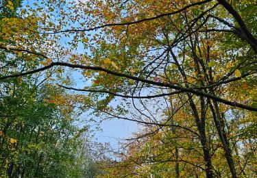
🌲🌳
Début de la promenade dans les jolis quartiers résidentiels.
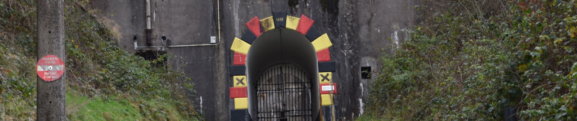
Après une petite grimpette, vous arriverez devant le fort d'Embourg et poursuivrez votre promenade dans le charmant petit bois de la picherotte.
Plaine de jeux à la fin de la promenade.
🌍 Envie d'avoir un joli point de vue?
Rendez-vous à l'Avenue du bout du monde à Embourg (tout au bout) une petite allée se trouve sur votre gauche, continuez quelques mètres et vous arriverez au rocher du bout du monde!
Chiens autorisés en laisse. 🐩🐶🐕
Convient pour les enfants . 👱👱♂️
Ne convient pas pour les poussettes et personnes à mobilité réduite. 👨🦽👩🦽👶
Commentaire repris textuellement.


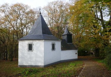
23 photos in total. Please click on a photo to see them all in the gallery.

Walking

Walking

Walking

Walking

Walking
Walking

Walking
Walking
Walking