


Champ du Feu

VacheKiri67
User
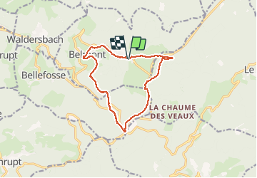

Length
12.9 km

Max alt
1101 m

Uphill gradient
385 m
Km-Effort
18 km

Min alt
799 m

Downhill gradient
383 m
Boucle
Yes
Creation date :
2014-12-11 00:00:00.0
Updated on :
2014-12-11 00:00:00.0
5h16
Difficulty : Medium

FREE GPS app for hiking
 SityTrail
IGN / Geographical institutes
SityTrail Plus
The world is yours!
About
Trail Walking of 12.9 km to be discovered at Grand Est, Bas-Rhin, Belmont. This trail is proposed by VacheKiri67.
Description
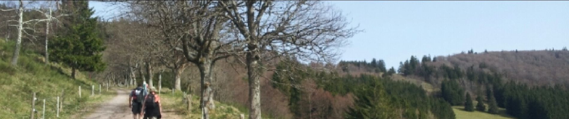
Faite le 30/03/2014 en 5h15 (dont 1h30 de pauses) avec notre fils de 9 ans, nos amis Patrice et Monique et leur filleule Anne.
Photos


Positioning
Country:
France
Region :
Grand Est
Department/Province :
Bas-Rhin
Municipality :
Belmont
Location:
Unknown
Start:(Dec)
Start:(UTM)
371149 ; 5363000 (32U) N.
Comments