


20 km | 31 km-effort

Usuario


Aplicación GPS de excursión GRATIS
 SityTrail
IGN / Institutos geográficos
SityTrail World
El mundo es suyo
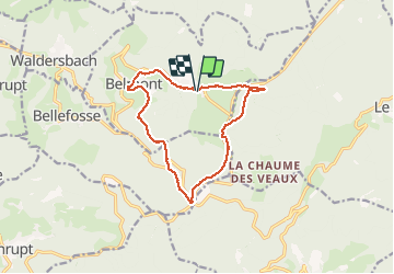
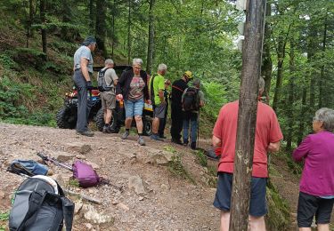
Ruta Senderismo de 12,9 km a descubrir en Gran Este, Bajo-Rin, Belmont. Esta ruta ha sido propuesta por VacheKiri67.
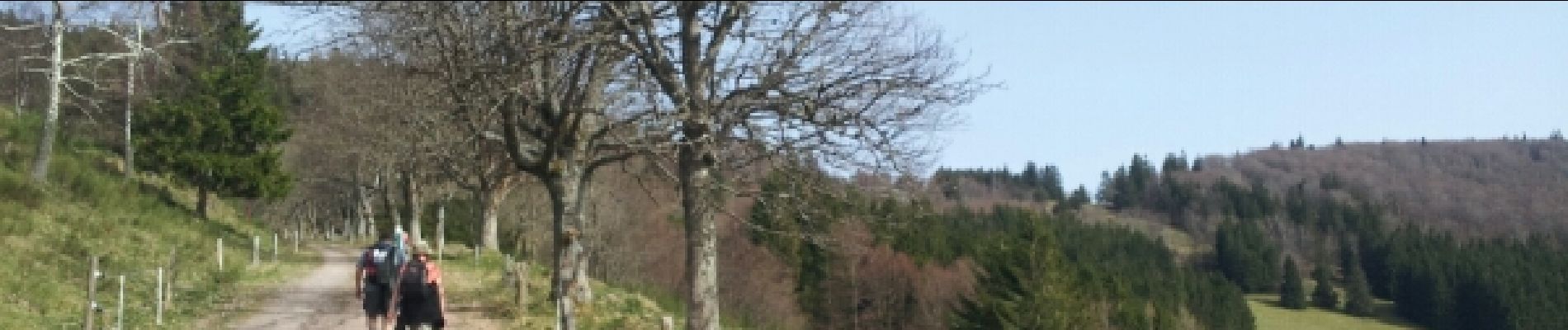
Faite le 30/03/2014 en 5h15 (dont 1h30 de pauses) avec notre fils de 9 ans, nos amis Patrice et Monique et leur filleule Anne.


Senderismo

Senderismo
Senderismo
Senderismo
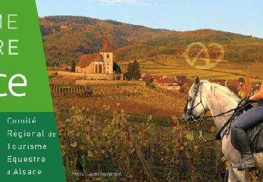
Paseo ecuestre

Paseo ecuestre
Senderismo
Senderismo