


st Martin alberes - pic Neouliys - col ouillat

Erius
User
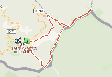

Length
11.9 km

Max alt
1248 m

Uphill gradient
640 m
Km-Effort
20 km

Min alt
626 m

Downhill gradient
643 m
Boucle
Yes
Creation date :
2020-12-17 08:35:58.038
Updated on :
2020-12-17 14:29:33.79
3h30
Difficulty : Medium

FREE GPS app for hiking
 SityTrail
IGN / Geographical institutes
SityTrail Plus
The world is yours!
About
Trail Walking of 11.9 km to be discovered at Occitania, Pyrénées-Orientales, L'Albère. This trail is proposed by Erius.
Description
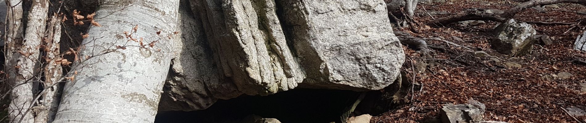
Jolie rando dans la forêt 650 12km
Photos


Positioning
Country:
France
Region :
Occitania
Department/Province :
Pyrénées-Orientales
Municipality :
L'Albère
Location:
Unknown
Start:(Dec)
Start:(UTM)
492548 ; 4701542 (31T) N.
Comments