


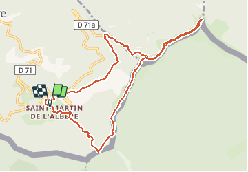

10.1 km | 17 km-effort

User


FREE GPS app for hiking
 SityTrail
IGN / Geographical institutes
SityTrail World
The world is yours!
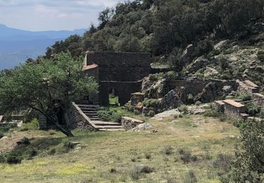
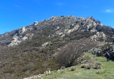
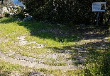
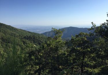
Trail Walking of 11.9 km to be discovered at Occitania, Pyrénées-Orientales, L'Albère. This trail is proposed by Erius.
Jolie rando dans la forêt 650 12km


Walking
Walking
On foot

Walking
Walking
Walking
Walking
Walking
Walking