


Col des 3 frères

oliviergau
User

Length
17.4 km

Max alt
2605 m

Uphill gradient
920 m
Km-Effort
30 km

Min alt
1845 m

Downhill gradient
941 m
Boucle
No
Creation date :
2020-12-24 09:27:26.125
Updated on :
2020-12-24 15:17:57.614
3h45
Difficulty : Very easy

FREE GPS app for hiking
 SityTrail
IGN / Geographical institutes
SityTrail Plus
The world is yours!
About
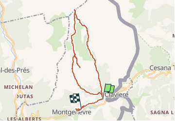
Trail Touring skiing of 17.4 km to be discovered at Provence-Alpes-Côte d'Azur, Hautes-Alpes, Montgenèvre. This trail is proposed by oliviergau.
Positioning
Country:
France
Region :
Provence-Alpes-Côte d'Azur
Department/Province :
Hautes-Alpes
Municipality :
Montgenèvre
Location:
Unknown
Start:(Dec)
Start:(UTM)
321704 ; 4978373 (32T) N.
Comments