Trail Walking Taxenne - taxenne - Photo
© OpenStreetMap contributors
Length
Length
14.8 km
Max alt
Max alt
304 m
Uphill gradient
Uphill gradient
249 m
Km-Effort
Km-Effort  
18.2 km
Min alt
Min alt
196 m
Downhill gradient
Downhill gradient
252 m
Boucle
Boucle
Yes
Creation date :
2020-12-27 09:04:05.81
Updated on :
2021-05-25 18:39:30.151

(1 Reviews)

Walking
Walking
2h22
Difficulty : Easy

Scan this QR Code to open this trail in the SityTrail application

FREE GPS app for hiking

Logo SityTrail SityTrail

IGN / Geographical institutes

Download SityTrail from the App Store Download SityTrail from Google Play

Logo SityTrail SityTrail World

The world is yours!

Download SityTrail from the App Store Download SityTrail from Google Play Download SityTrail on Huawei AppGallery

About

Trail Walking of 14.8 km to be discovered at Bourgogne-Franche-Comté, Jura, Taxenne. This trail is proposed by eltonnermou.

Description

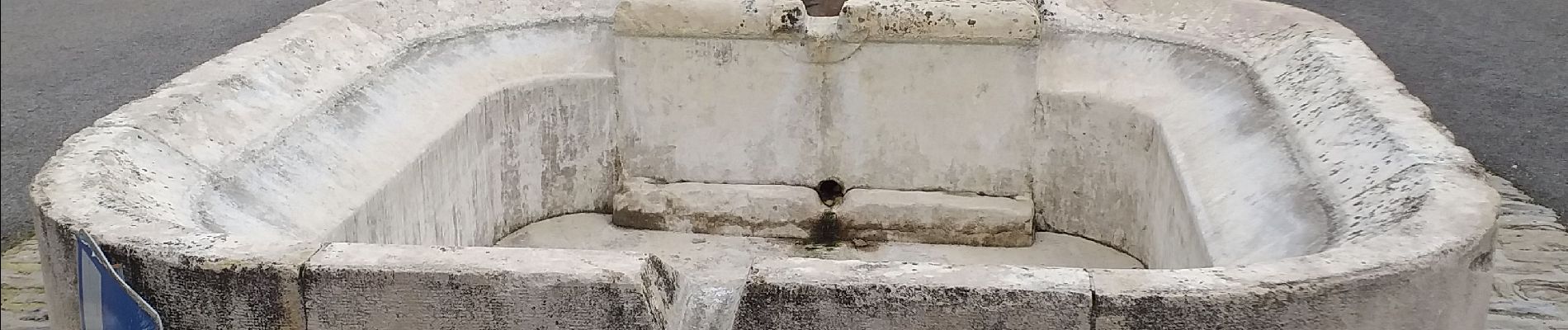
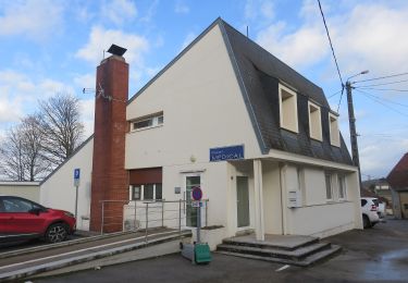
parking  près du lavoir dans le "trou" du centre du village ;
randonnée de 15km ; rando pieds propres.
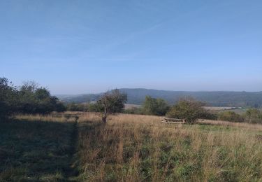
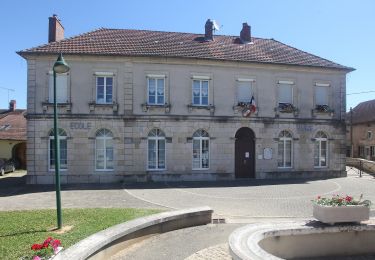
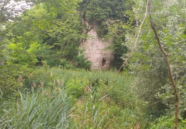
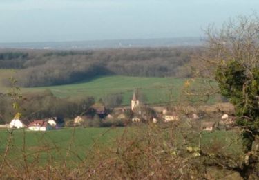
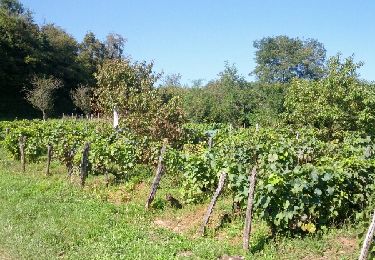
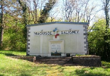
Randonnée très agréable, de très belles bâtisses (Taxenne, Ougney), une des dernières abbaye habitée par des moines, à voir ; à travers le paysage vallonné de notre région, avec de longues parties boisées.

Elevation profile

Photos

Positioning

Country:
France
Region :
Bourgogne-Franche-Comté
Department/Province :
Jura
Municipality :
Taxenne
Location:
Unknown
Start:(UTM)
702912 ; 5233666 (31T) N.

Comments

Please log in to post a review or rate the element


Trails nearby

Trail Walking Ougney - Ougney - Photo
Walking
eltonnermou

Walking

Very difficult
(1)
Ougney, Bourgogne-Franche-Comté, Jura, France
15 km | 19.3 km-effort
4h 23min
Yes
Trail On foot Ougney - Mont de Vassange - Photo
On foot
PRO

On foot

Easy
Ougney, Bourgogne-Franche-Comté, Jura, France
11.6 km | 15.3 km-effort
3h 28min
Yes
Trail On foot Taxenne - Sentier de la Vigne - Photo
On foot
PRO

On foot

Easy
Taxenne, Bourgogne-Franche-Comté, Jura, France
11.7 km | 16.8 km-effort
3h 48min
Yes
Trail Walking Étrabonne - etrabonne et plus que ça  - Photo
Walking
eltonnermou

Walking

Medium
Étrabonne, Bourgogne-Franche-Comté, Doubs, France
15.5 km | 21 km-effort
2h 37min
Yes
Trail Walking Thervay - Thervay  - Photo
Walking
eltonnermou

Walking

Easy
Thervay, Bourgogne-Franche-Comté, Jura, France
16.1 km | 18.3 km-effort
5h 45min
No
Trail On foot Sermange - Circuit des Fontaines - Photo
On foot
PRO

On foot

Easy
Sermange, Bourgogne-Franche-Comté, Jura, France
8.8 km | 11.1 km-effort
2h 31min
Yes
Trail Walking Serre-les-Moulières - Serre Les Moulières 19 déc 2019 CAF - Photo
Walking
TRIMAILLE

Walking

Difficult
Serre-les-Moulières, Bourgogne-Franche-Comté, Jura, France
20 km | 27 km-effort
6h 52min
Yes
Trail Nordic walking Taxenne - Taxenne - Vitreux - Rouffange - Photo
Nordic walking
albert39

Nordic walking

Medium
(1)
Taxenne, Bourgogne-Franche-Comté, Jura, France
10.7 km | 14.9 km-effort
2h 43min
Yes
Trail Nordic walking Saligney - Saligney - Mont de Vassange - Photo
Nordic walking
albert39

Nordic walking

Difficult
Saligney, Bourgogne-Franche-Comté, Jura, France
13.2 km | 17.1 km-effort
2h 37min
Yes


Close
My subscriptions