


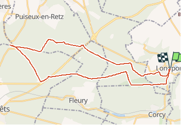


17.5 km | 21 km-effort

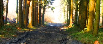
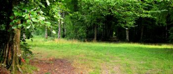
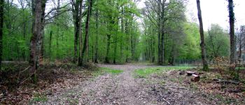
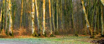
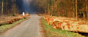
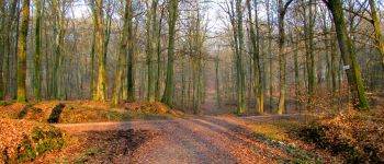
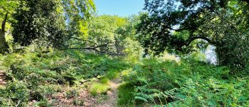
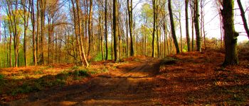
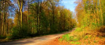
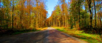
forêts de France


FREE GPS app for hiking
 SityTrail
IGN / Geographical institutes
SityTrail World
The world is yours!
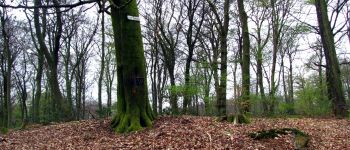
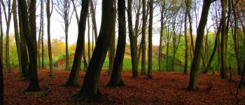
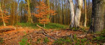
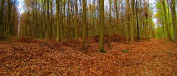
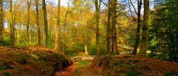
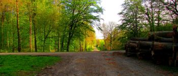
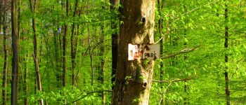
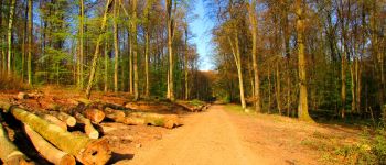
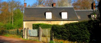
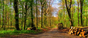
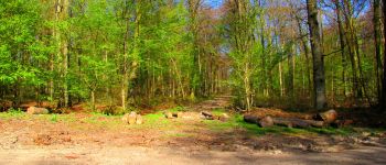
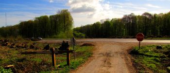
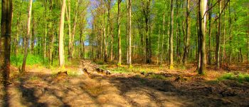
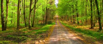
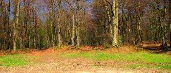
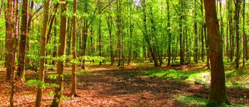
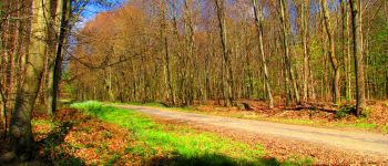
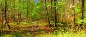
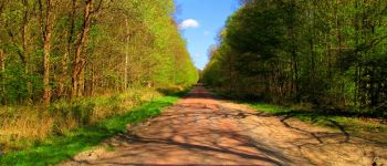
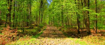
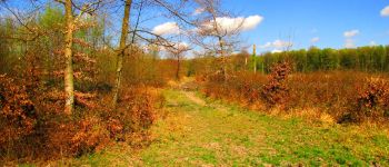
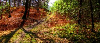
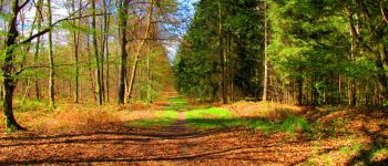
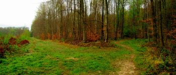
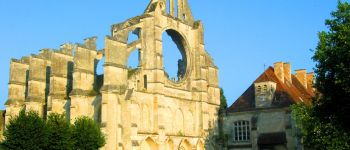
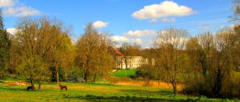
Trail Walking of 20 km to be discovered at Hauts-de-France, Aisne, Longpont. This trail is proposed by en forêt de Retz.
voir aussi:
http://foret-de-retz.over-blog.com/
04/ 2014
Une batterie pour iphone est indispensable pour le recharger si l'on veut enregistrer la rando avec sitytrail.
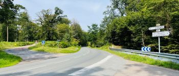
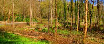
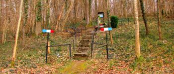
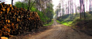
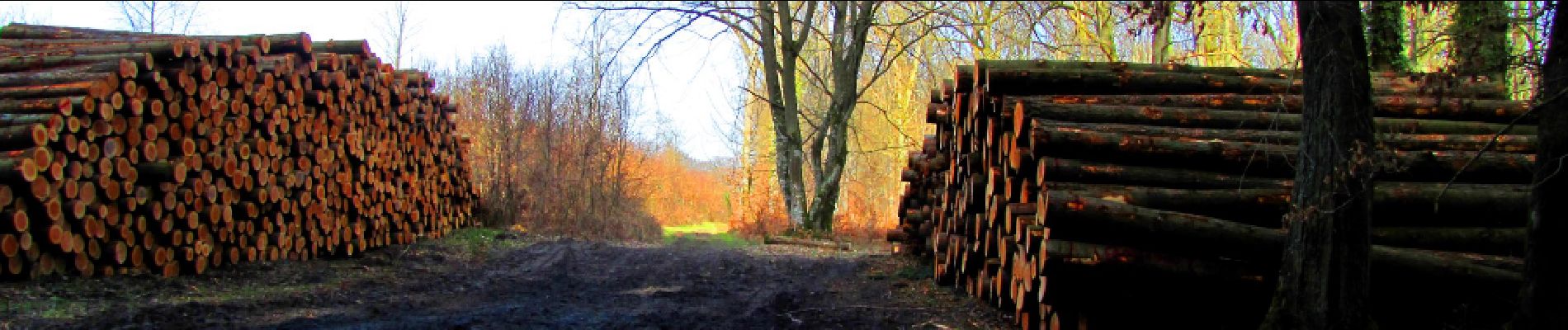
A partir de l'abbaye de Longpont, rejoindre les "3 maisons" puis prendre le GR 11A. Suivre jusqu'au vieux chemin de Longpont. Au carrefour Gaudrillard,prendre à droite la laie de la Croix Pain Tendre jusqu'au carrefour de la Grosse Pierre. Prendre la laie des Grands Charmes jusqu'au carrefour des Ecuries. A gauche, suivre la route de Chavigny jusqu'au carrefour de Chavigny. A droite, prendre la laie des Monthieux jusqu'au pont enjambant la N2. Le traverser, rejoindre le carrefour des Carrosses puis suivre jusqu'au carrefour du Lièvre. Prendre la route du Mur du Parc jusqu'au carrefour des six Routes. Prendre à gauche la laie de Puiseux jusqu'au carrefour de Réaumont. Prendre à droite la route du Faîte jusqu'à la maison forestière du Rond de la Reine. Revenir sur ses pas au carrefour Marguerite et prendre la laie de Marguerite jusqu'à la N2 (carrefour du Rond de Chartres). Tourner à gauche en la longeant jusqu'au carrefour de Villers-Cotterets et traverser la N2. Prendre la route de Chavigny jusqu'au Rond d'Orléans. Prendre la laie de la Croix Bacquet jusqu'au carrefour de l'Oiseau. Prendre la laie des Etangs de Longpont jusqu'au carrefour de la Biche. Prendre à droite la route de Vauvaudran jusqu'au carrefour des Tourterelles. Tourner à gauche sur la route du Pendu et continuer jusqu'au carrefour du Pendu. Continuer tout droit jusqu'à la route de Corcy (D270). Attention, laie défoncée par les bulldozers des bûcherons et très difficile à pratiquer. Rejoindre Longpont par la route de Corcy.


167 photos in total. Please click on a photo to see them all in the gallery.

Walking

Walking

Walking

On foot

On foot

Walking

Walking

Walking

Walking