


Heimsbrunn

ROPPJP
User
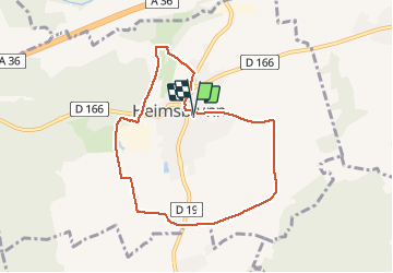

Length
7.3 km

Max alt
296 m

Uphill gradient
73 m
Km-Effort
8.3 km

Min alt
262 m

Downhill gradient
72 m
Boucle
Yes
Creation date :
2021-01-08 12:04:14.428
Updated on :
2021-01-08 13:40:01.352
1h35
Difficulty : Very easy

FREE GPS app for hiking
 SityTrail
IGN / Geographical institutes
SityTrail Plus
The world is yours!
About
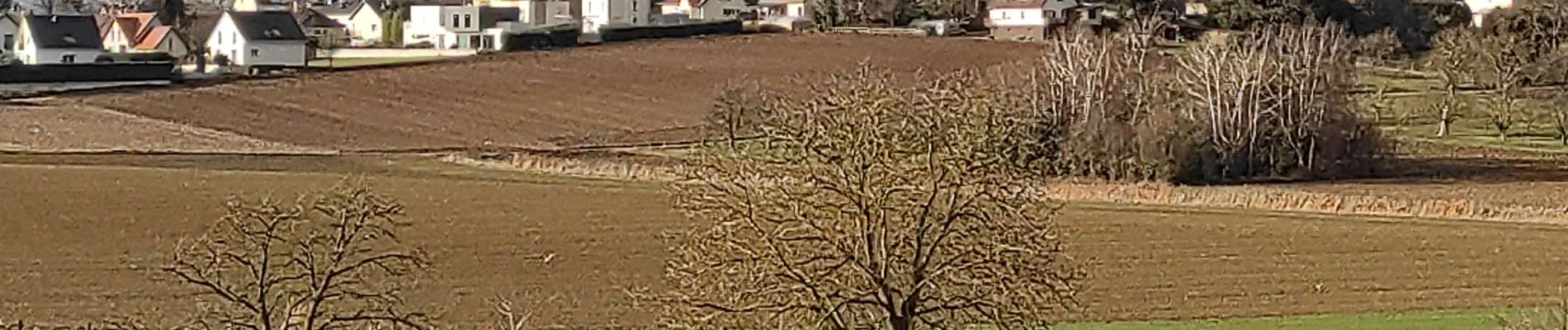
Trail Walking of 7.3 km to be discovered at Grand Est, Haut-Rhin, Heimsbrunn. This trail is proposed by ROPPJP.
Photos


Positioning
Country:
France
Region :
Grand Est
Department/Province :
Haut-Rhin
Municipality :
Heimsbrunn
Location:
Unknown
Start:(Dec)
Start:(UTM)
367133 ; 5287430 (32T) N.
Comments