


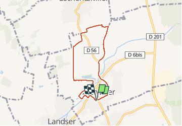

7.4 km | 9.7 km-effort


User


FREE GPS app for hiking
 SityTrail
IGN / Geographical institutes
SityTrail World
The world is yours!
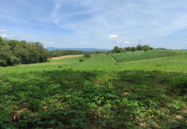
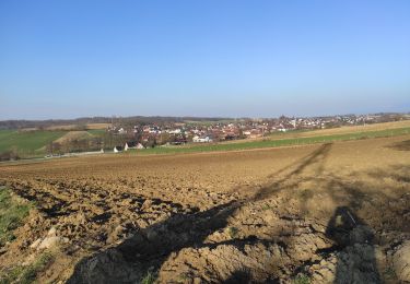
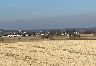
Trail Walking of 6.2 km to be discovered at Grand Est, Haut-Rhin, Dietwiller. This trail is proposed by argonneuweg.
Randonnée très facile avec quelques belles vues, mais une partie du circuit est trop proche de la circulation automobile.
A voir notamment la vieille tour de Dietwiller et son tilleul tricentenaire.
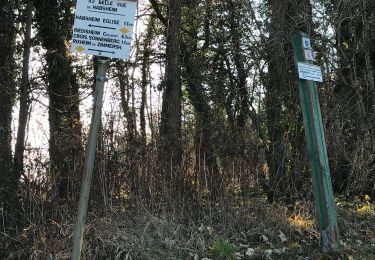
Suivre le balisage du cercle vert.
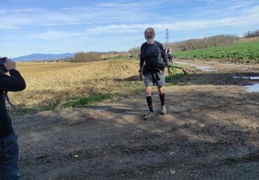
On foot
Walking

Walking
Walking
Walking

Walking
Walking
Walking