


l aupet serre heyrautl

gillesmanfredi
User

Length
10.1 km

Max alt
2300 m

Uphill gradient
1049 m
Km-Effort
24 km

Min alt
1369 m

Downhill gradient
1051 m
Boucle
Yes
Creation date :
2021-01-09 08:39:33.35
Updated on :
2021-01-09 13:14:52.619
4h33
Difficulty : Easy

FREE GPS app for hiking
 SityTrail
IGN / Geographical institutes
SityTrail Plus
The world is yours!
About
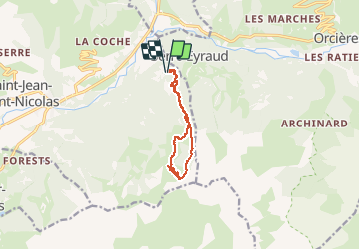
Trail Touring skiing of 10.1 km to be discovered at Provence-Alpes-Côte d'Azur, Hautes-Alpes, Saint-Jean-Saint-Nicolas. This trail is proposed by gillesmanfredi.
Positioning
Country:
France
Region :
Provence-Alpes-Côte d'Azur
Department/Province :
Hautes-Alpes
Municipality :
Saint-Jean-Saint-Nicolas
Location:
Unknown
Start:(Dec)
Start:(UTM)
283454 ; 4950453 (32T) N.
Comments