


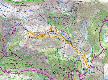
7.4 km | 12.1 km-effort
Saint-Jean-Saint-Nicolas: Discover the best trails: 43 hiking trails and 19 bike and mountain-bike routes. All these trails, routes and outdoor activities are available in our SityTrail applications for smartphones and tablets.
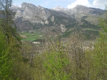
Walking


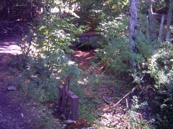
• Ruines d'un ancien village.

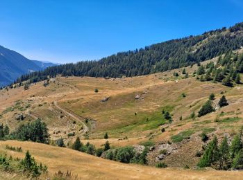
Walking
• belle boucle à l'ombre
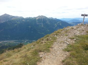
Walking

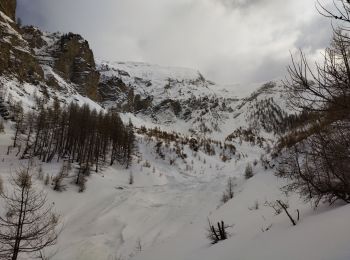
Touring skiing
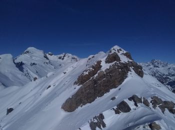
Touring skiing
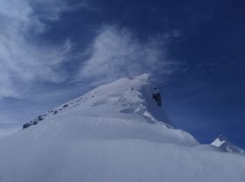
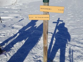
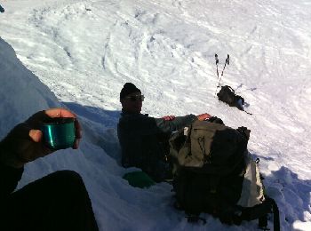
Touring skiing
Walking
• Sortie avec les TSL. Belle région, à découvrir. Belle balade.

Snowshoes

Walking
• Ruines d'un ancien village.
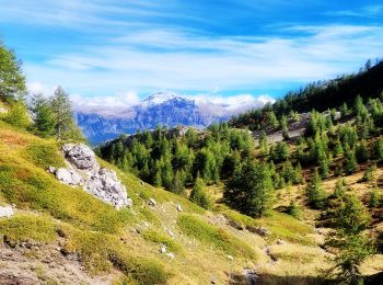
Walking
Touring skiing
Snowshoes
Walking
Snowshoes
Snowshoes
• Ne cherchez pas la cabane elle n'existe pas.
Mountain bike
Walking
•
Mountain bike

Mountain bike
Walking
20 trails displayed on 105
FREE GPS app for hiking
 SityTrail
IGN / Geographical institutes
SityTrail World
The world is yours!