


Reallon

Sorriaux
User


Length
9.4 km

Max alt
1587 m

Uphill gradient
397 m
Km-Effort
14.7 km

Min alt
1386 m

Downhill gradient
397 m
Boucle
Yes
Creation date :
2021-01-12 09:27:20.881
Updated on :
2021-01-12 15:23:03.928
3h15
Difficulty : Easy

FREE GPS app for hiking
 SityTrail
IGN / Geographical institutes
SityTrail Plus
The world is yours!
About
Trail Walking of 9.4 km to be discovered at Provence-Alpes-Côte d'Azur, Hautes-Alpes, Réallon. This trail is proposed by Sorriaux.
Description
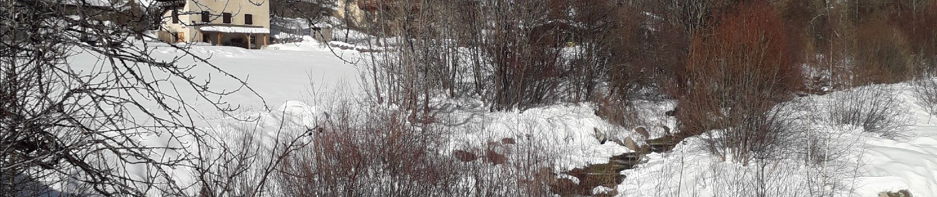
Reallon les Gourmiers. Fort Reallon, cascade de la Pise
Photos


Positioning
Country:
France
Region :
Provence-Alpes-Côte d'Azur
Department/Province :
Hautes-Alpes
Municipality :
Réallon
Location:
Unknown
Start:(Dec)
Start:(UTM)
290745 ; 4941403 (32T) N.
Comments