


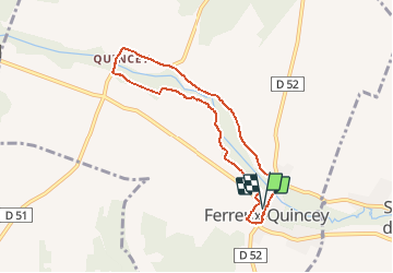

12.5 km | 13.9 km-effort


User


FREE GPS app for hiking
 SityTrail
IGN / Geographical institutes
SityTrail World
The world is yours!
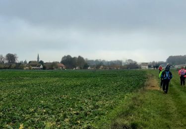
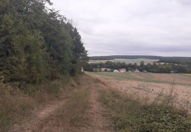
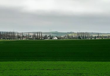
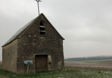
Trail On foot of 6.7 km to be discovered at Grand Est, Aube, Ferreux-Quincey. This trail is proposed by Alain Picard.
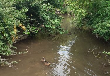
Ballade sur les bords de l'Ardusson.
On foot
Walking
Walking
Walking
Walking
Walking


On foot
On foot