


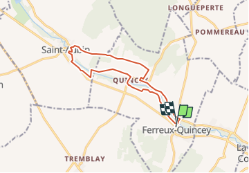

11 km | 12.5 km-effort

User


FREE GPS app for hiking
 SityTrail
IGN / Geographical institutes
SityTrail World
The world is yours!
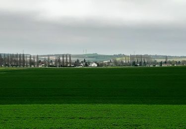
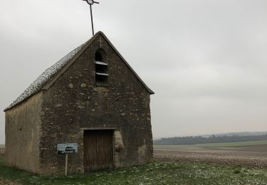
Trail On foot of 12.5 km to be discovered at Grand Est, Aube, Ferreux-Quincey. This trail is proposed by jeannine grandjean.
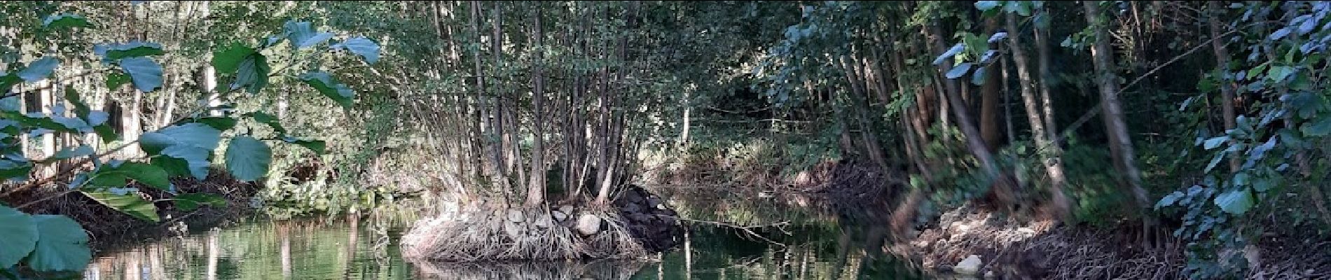
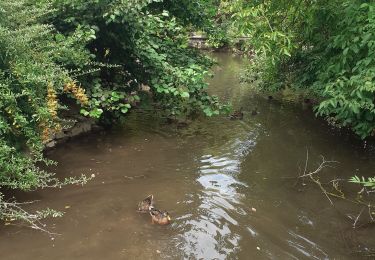
belle rando de part et d'autre des rives de l'Ardusson ; on passe devant l'imposante abbaye du Paraclet, où le souvenir d'Héloïses et Abélard continue à hanter les lieux


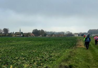
Walking
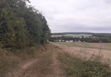
Walking
Walking
Walking
Walking


On foot
On foot