Le chapeau rouge
nadd73
User
Length
16 km
Max alt
2650 m
Uphill gradient
1102 m
Km-Effort
31 km
Min alt
1559 m
Downhill gradient
1115 m
Boucle
Yes
Creation date :
2021-01-19 08:36:12.736
Updated on :
2021-01-19 17:48:53.725
5h54
Difficulty : Medium
FREE GPS app for hiking
About
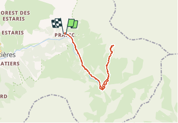
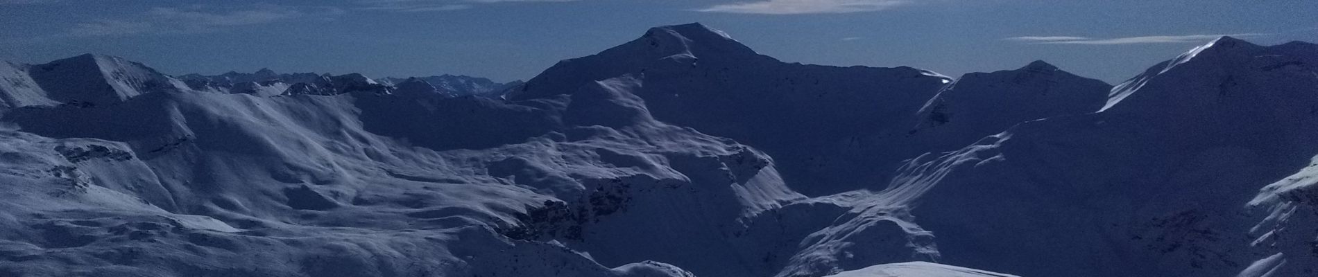
Trail Touring skiing of 16 km to be discovered at Provence-Alpes-Côte d'Azur, Hautes-Alpes, Orcières. This trail is proposed by nadd73.
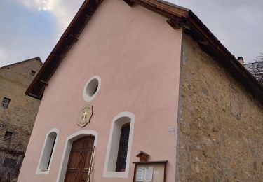
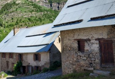
Description
Départ de Prapic.
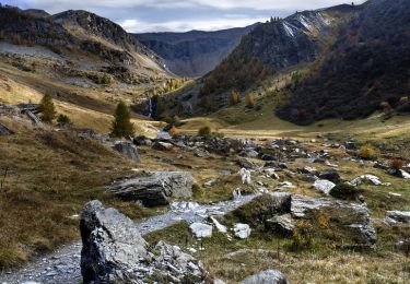
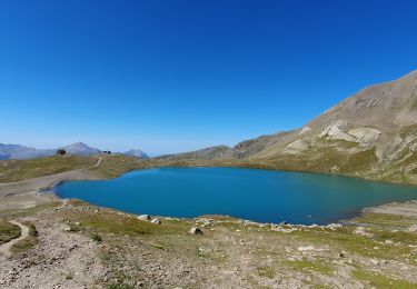
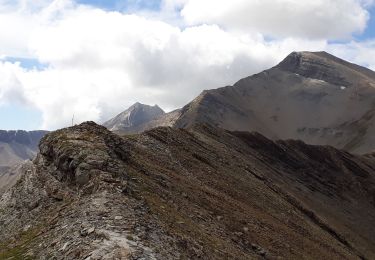
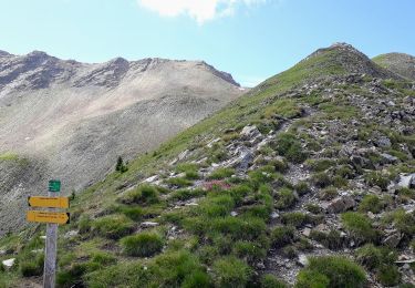
Monter au Saut du Laïre, et la cabane de Terce, suivre le Torrent de Jartout, monter sur la crête et sommet.
Pour aller au Saut du Laïre c'est très long et le retour est pousse bâtons...
Positioning
Country:
France
Region :
Provence-Alpes-Côte d'Azur
Department/Province :
Hautes-Alpes
Municipality :
Orcières
Location:
Unknown
Start:(Dec)
Start:(UTM)
291691 ; 4952218 (32T) N.
Comments
Trails nearby
Le Forest des marches
Walking
Easy
(2)
Orcières,
Provence-Alpes-Côte d'Azur,
Hautes-Alpes,
France
6.3 km | 9.9 km-effort
1h 42min
Yes
R45 Marmottes a Prapic
Walking
Medium
(2)
Orcières,
Provence-Alpes-Côte d'Azur,
Hautes-Alpes,
France
9 km | 14 km-effort
2h 57min
Yes
Orcieres (Hautes Alpes)
Walking
Very difficult
(1)
Orcières,
Provence-Alpes-Côte d'Azur,
Hautes-Alpes,
France
12 km | 19.4 km-effort
4h 24min
Yes
Roc Diolon par le col de Fressinieres 11/08/23
Walking
Very difficult
Orcières,
Provence-Alpes-Côte d'Azur,
Hautes-Alpes,
France
16.3 km | 32 km-effort
7h 21min
Yes
Col des Tourettes - Croix Lorraine 08/09/18
Walking
Difficult
Orcières,
Provence-Alpes-Côte d'Azur,
Hautes-Alpes,
France
21 km | 37 km-effort
5h 30min
Yes
Col de Rouannette 22/07/18
Walking
Medium
Orcières,
Provence-Alpes-Côte d'Azur,
Hautes-Alpes,
France
9.3 km | 20 km-effort
3h 56min
Yes
Prapic Basset Cabane de la Barre
Walking
Medium
(1)
Orcières,
Provence-Alpes-Côte d'Azur,
Hautes-Alpes,
France
17.6 km | 30 km-effort
6h 10min
Yes
08072013
Walking
Medium
(1)
Orcières,
Provence-Alpes-Côte d'Azur,
Hautes-Alpes,
France
10.5 km | 17.9 km-effort
2h 36min
Yes
Merlette Les Lacs
Walking
Easy
(1)
Orcières,
Provence-Alpes-Côte d'Azur,
Hautes-Alpes,
France
18.4 km | 32 km-effort
4h 39min
Yes