


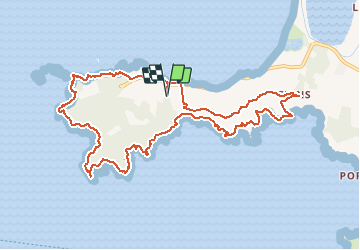


11.9 km | 14.2 km-effort

User GUIDE


FREE GPS app for hiking
 SityTrail
IGN / Geographical institutes
SityTrail World
The world is yours!
Trail Walking of 12.4 km to be discovered at Provence-Alpes-Côte d'Azur, Var, Hyères. This trail is proposed by affinetataille.
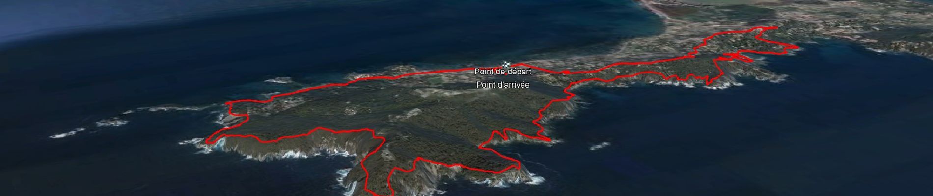
Pkg la Madrague ch.de la table ronde (vers les Darboussières).
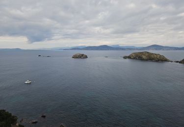
faire le tour de la presqu'île de giens, en suivant le bord de mer, en le faisant dans le sens inverse des aiguilles d'une montre.
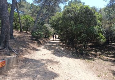
Arrivés près du pkg, à la plage des darboussières, continuer et monter au blockhaus sommital de la pointe du Niel (100m).
revenir par le chemin de crête, puis redescendre sur le chemin du littoral, avant de rejoindre la même plage des darboussières puis de remonter au pkg .
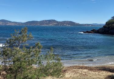
Nota: en cas de fatigue, raccourcir en revenant directement depuis la plage des Darboussières.


24 photos in total. Please click on a photo to see them all in the gallery.
Walking
Walking
Walking

Walking

Walking

Walking
Walking
Walking
Walking