


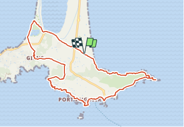


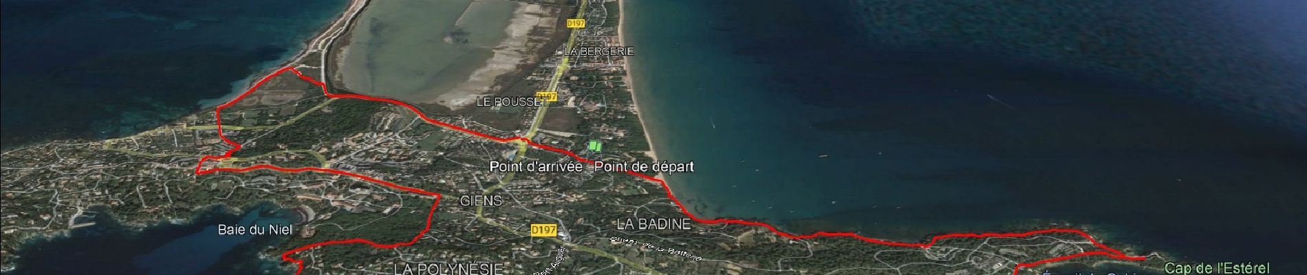
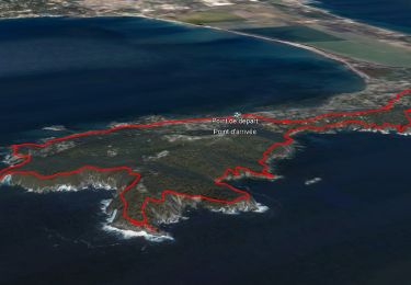
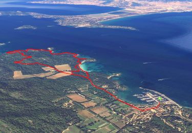
7.2 km | 10.5 km-effort

User GUIDE


FREE GPS app for hiking
 SityTrail
IGN / Geographical institutes
SityTrail World
The world is yours!
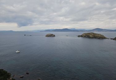
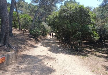
Trail Walking of 11.9 km to be discovered at Provence-Alpes-Côte d'Azur, Var, Hyères. This trail is proposed by affinetataille.
Une revisite d'une randonnée classique et facile avec un detour par le village de Giens puis par la plage de l'almanarre


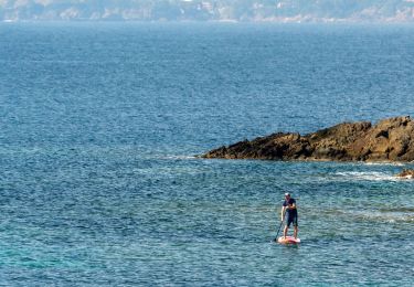
26 photos in total. Please click on a photo to see them all in the gallery.
Walking
Walking

Walking

Walking

Walking
Walking
Walking
Walking
Walking