Trail Walking Blond - Circuit des cîmes - Photo

Circuit des cîmes

© OpenStreetMap contributors
Length
Length
12.6 km
Max alt
Max alt
497 m
Uphill gradient
Uphill gradient
361 m
Km-Effort
Km-Effort  
17.4 km
Min alt
Min alt
351 m
Downhill gradient
Downhill gradient
366 m
Boucle
Boucle
Yes
Creation date :
2014-12-10 00:00:00.0
Updated on :
2014-12-10 00:00:00.0

(0 Reviews)

Walking
Walking
3h46
Difficulty : Medium

Scan this QR Code to open this trail in the SityTrail application

FREE GPS app for hiking

Logo SityTrail SityTrail

IGN / Geographical institutes

Download SityTrail from the App Store Download SityTrail from Google Play

Logo SityTrail SityTrail World

The world is yours!

Download SityTrail from the App Store Download SityTrail from Google Play Download SityTrail on Huawei AppGallery

About

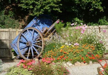
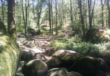
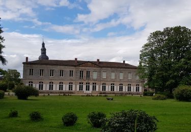
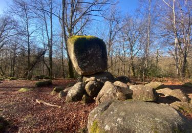
Trail Walking of 12.6 km to be discovered at New Aquitaine, Haute-Vienne, Blond. This trail is proposed by rougilabuse.

Description

cet itinéraire est un circuit balisé par le département de la haute vienne vous le trouverez sur le site www.randonnee-hautevienne
J'ai préféré partir de Maillofray et retour à Maillofray depuis le Charlet  

Elevation profile

Points of interest

Point of interest Blond - le Charlet - Photo
rougilabuse
BLOND 

Positioning

Country:
France
Region :
New Aquitaine
Department/Province :
Haute-Vienne
Municipality :
Blond
Location:
Unknown
Start:(UTM)
346734 ; 5100141 (31T) N.

Trails nearby

Trail Walking Montrol-Sénard - Montrol Senart - Photo
Walking
coeurdom

Walking

Difficult
Montrol-Sénard, New Aquitaine, Haute-Vienne, France
13.1 km | 17.4 km-effort
3h 10min
Yes
Trail Walking Blond - Blonds - Photo
Walking
coeurdom

Walking

Difficult
Blond, New Aquitaine, Haute-Vienne, France
9.1 km | 12 km-effort
2h 30min
Yes
Trail Cycle Cieux - Monts de Blond 87 - Photo
Cycle
zoe.vienne

Cycle

Easy
Cieux, New Aquitaine, Haute-Vienne, France
6.4 km | 8 km-effort
1h 37min
Yes
Trail Equestrian Montrol-Sénard - Circuit Sur les traces d'Henry IV - Montrol Sénard - Photo
Equestrian
tracegps

Equestrian

Medium
Montrol-Sénard, New Aquitaine, Haute-Vienne, France
12.7 km | 16.9 km-effort
2h 0min
Yes
Trail Mountain bike Montrol-Sénard - Circuit Sur les traces d'Henry IV - Montrol Sénard - Photo
Mountain bike
tracegps

Mountain bike

Medium
Montrol-Sénard, New Aquitaine, Haute-Vienne, France
12.7 km | 16.9 km-effort
1h 0min
Yes
Trail Walking Montrol-Sénard - Circuit Sur les traces d'Henry IV - Montrol Sénard - Photo
Walking
tracegps

Walking

Medium
(2)
Montrol-Sénard, New Aquitaine, Haute-Vienne, France
12.7 km | 16.9 km-effort
3h 0min
Yes
Trail Horseback riding Blond - Blond Mule Passerelle - Photo
Horseback riding
Dom4i

Horseback riding

Very easy
Blond, New Aquitaine, Haute-Vienne, France
22 km | 27 km-effort
4h 19min
No
Trail Walking Mortemart - mortemart montrol - Photo
Walking
jeanjean37

Walking

Easy
Mortemart, New Aquitaine, Haute-Vienne, France
5.1 km | 6.4 km-effort
2h 17min
Yes
Trail Mountain bike Blond - Vtt Monts de Blond 19 01 2021 - Photo
Mountain bike
topolino

Mountain bike

Very difficult
Blond, New Aquitaine, Haute-Vienne, France
54 km | 71 km-effort
4h 57min
Yes


Close
My subscriptions