


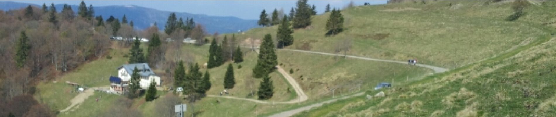
Markstein

VacheKiri67
User
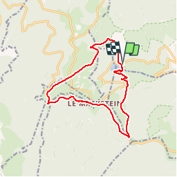


4h45
Difficulty : Medium

FREE GPS app for hiking
 SityTrail
IGN / Geographical institutes
SityTrail Plus
The world is yours!
About
Trail Walking of 14 km to be discovered at Grand Est, Haut-Rhin, Linthal. This trail is proposed by VacheKiri67.
Description
Faite le 13/04/2014 avec notre fils de 9 ans. D'après l'excellent ouvrage : Mes balades préférées dans les Vosges N°25 - Un tour du Markstein élargi.
Photos


21 photos in total. Please click on a photo to see them all in the gallery.
Positioning
Comments
Une super randonnée !