


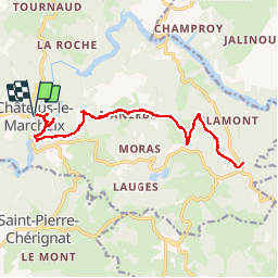

11.4 km | 15.6 km-effort


User


FREE GPS app for hiking
 SityTrail
IGN / Geographical institutes
SityTrail World
The world is yours!
Trail Walking of 19.6 km to be discovered at New Aquitaine, Creuse, Châtelus-le-Marcheix. This trail is proposed by christian19.
La voie de Rocamadour AR
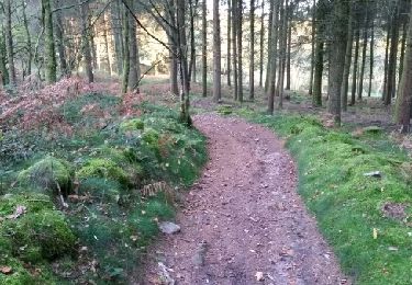
Walking

Walking

Other activity

Mountain bike
Walking
Walking
Nordic walking
Walking
Walking