


Arrènes-Chatelus AR

christian19
User
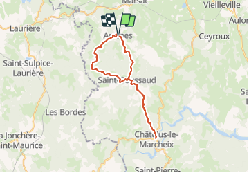

Length
26 km

Max alt
673 m

Uphill gradient
708 m
Km-Effort
35 km

Min alt
391 m

Downhill gradient
706 m
Boucle
Yes
Creation date :
2014-12-10 00:00:00.0
Updated on :
2014-12-10 00:00:00.0
5h31
Difficulty : Medium

FREE GPS app for hiking
 SityTrail
IGN / Geographical institutes
SityTrail Plus
The world is yours!
About
Trail Walking of 26 km to be discovered at New Aquitaine, Creuse, Arrènes. This trail is proposed by christian19.
Description
Voie de Rocamadour
Positioning
Country:
France
Region :
New Aquitaine
Department/Province :
Creuse
Municipality :
Arrènes
Location:
Unknown
Start:(Dec)
Start:(UTM)
389383 ; 5102945 (31T) N.
Comments