


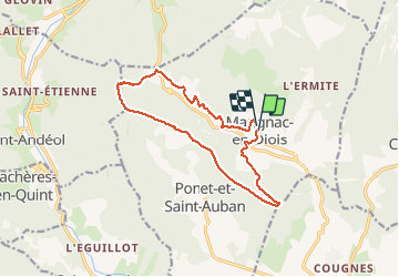

7.6 km | 10.8 km-effort


User


FREE GPS app for hiking
 SityTrail
IGN / Geographical institutes
SityTrail World
The world is yours!
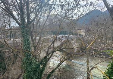
Trail Walking of 13.6 km to be discovered at Auvergne-Rhône-Alpes, Drôme, Marignac-en-Diois. This trail is proposed by cousam.
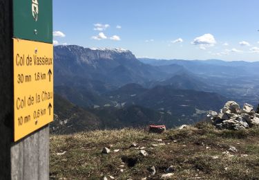
Boucle par les crêtes


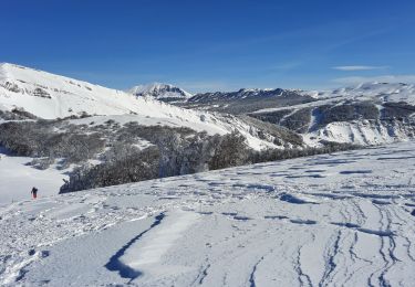
Snowshoes

Nordic walking

Mountain bike
Walking
Walking
Walking
Walking
Walking
Walking
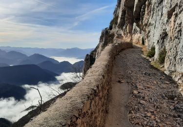
difficile à partir du pas des Versannes il y a une vague trace !!!!!!
attention ! en crête sentier invisible, envahi par la végétation , non balisé, descente brutale.... sinon belles vues....quand on n'est pas concentré sur ses pieds !