


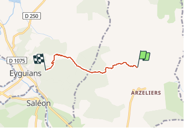

11.4 km | 19.4 km-effort


User


FREE GPS app for hiking
 SityTrail
IGN / Geographical institutes
SityTrail World
The world is yours!
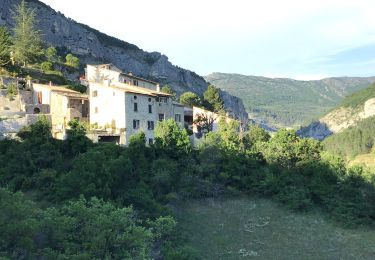
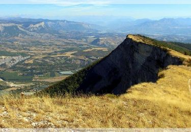
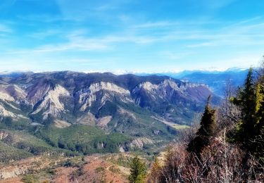
Trail Walking of 3.5 km to be discovered at Provence-Alpes-Côte d'Azur, Hautes-Alpes, Laragne-Montéglin. This trail is proposed by Dervalmarc.
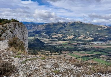
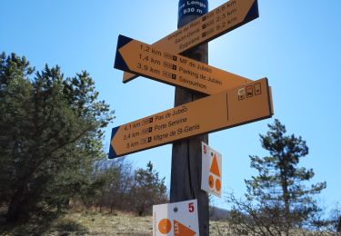
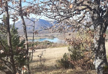
Promenade variée. Nombreux points de vue. Village médiéval du vieil Eyguians. Château de l'an 1000 du vieil Arzellier. Multipler les valeurs kilométriques par 2 pour l'aller retour.


Walking

Mountain bike

Walking
On foot
Walking
Walking
Mountain bike
Walking
Walking