


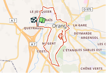

10.8 km | 12.4 km-effort

User


FREE GPS app for hiking
 SityTrail
IGN / Geographical institutes
SityTrail World
The world is yours!
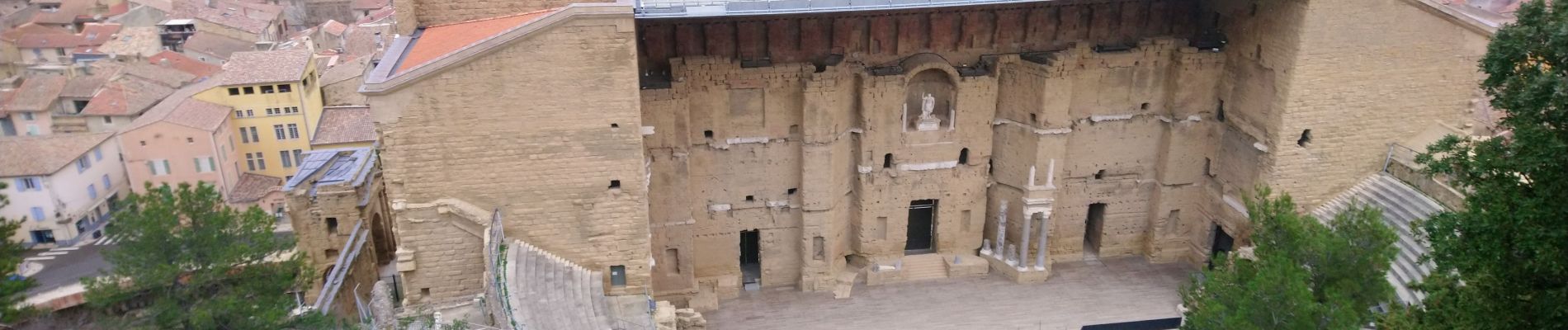
Trail Running of 10.8 km to be discovered at Provence-Alpes-Côte d'Azur, Vaucluse, Orange. This trail is proposed by zazie.
Aux alentours proches d'orange avec sa Colline Ste Clothilde


Walking
Walking
Walking

Cycle
Mountain bike
Walking
Mountain bike
Electric bike
Walking