


PHR TM Day 43

ARVIEU
User

Length
22 km

Max alt
952 m

Uphill gradient
1042 m
Km-Effort
35 km

Min alt
275 m

Downhill gradient
652 m
Boucle
No
Creation date :
2021-02-22 14:33:24.534
Updated on :
2021-02-22 14:33:52.348
7h58
Difficulty : Very difficult

FREE GPS app for hiking
 SityTrail
IGN / Geographical institutes
SityTrail Plus
The world is yours!
About
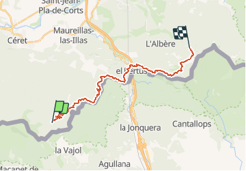
Trail Walking of 22 km to be discovered at Occitania, Pyrénées-Orientales, Maureillas-las-Illas. This trail is proposed by ARVIEU.
Positioning
Country:
France
Region :
Occitania
Department/Province :
Pyrénées-Orientales
Municipality :
Maureillas-las-Illas
Location:
Unknown
Start:(Dec)
Start:(UTM)
482259 ; 4696927 (31T) N.
Comments