


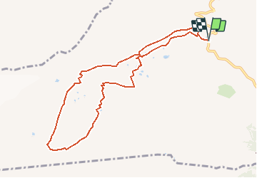


13.3 km | 20 km-effort


User


FREE GPS app for hiking
 SityTrail
IGN / Geographical institutes
SityTrail World
The world is yours!
Trail Walking of 9.5 km to be discovered at Valais/Wallis, Sion, Savièse. This trail is proposed by duamerg.
A faire par temps sec.
Laisser la voiture au col et suivre les traces. Ne pas bifurquer sur la gauche et continuer vers la langue du glacier.
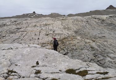
Montée assez difficile du ruisseau au plateau supérieure.
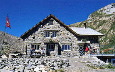
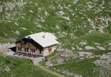
A chacun de trouver son meilleur chemin sur le long plateau parsemé de petits lacs avant d'arriver à la cabane.
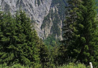
Magnifique vue sur le glacier et les Alpes. Panneau explicatif sur l'état alarmant du glacier Tsanfleuron.
Prendre pour le retour la direction de Derborence avant de retrouver un beau chemin sur les Lapies de Tsanfleuron et l'ancienne moraine.
Très belle course :-)
Nordic walking
Walking
Walking

Walking
Walking
Walking
Nordic walking
Walking
Walking