


forges

Becatrix19
User

Length
8.5 km

Max alt
285 m

Uphill gradient
133 m
Km-Effort
10.3 km

Min alt
208 m

Downhill gradient
150 m
Boucle
No
Creation date :
2021-02-25 14:08:21.446
Updated on :
2021-02-25 15:50:22.678
1h41
Difficulty : Very easy

FREE GPS app for hiking
 SityTrail
IGN / Geographical institutes
SityTrail Plus
The world is yours!
About
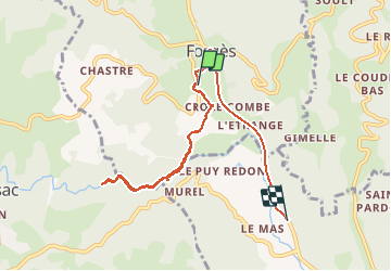
Trail Walking of 8.5 km to be discovered at New Aquitaine, Corrèze, Forgès. This trail is proposed by Becatrix19.
Positioning
Country:
France
Region :
New Aquitaine
Department/Province :
Corrèze
Municipality :
Forgès
Location:
Unknown
Start:(Dec)
Start:(UTM)
411118 ; 5000380 (31T) N.
Comments