


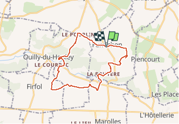


11.7 km | 13.2 km-effort

User


FREE GPS app for hiking
 SityTrail
IGN / Geographical institutes
SityTrail World
The world is yours!
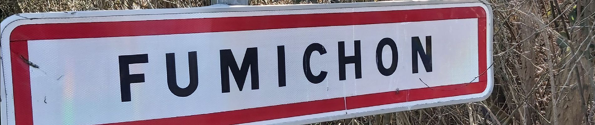
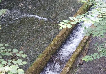
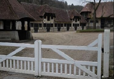
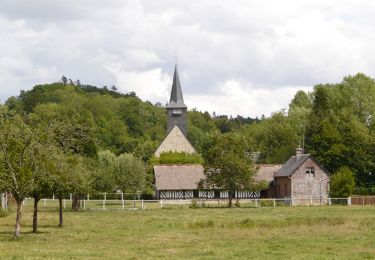
Trail Walking of 13.9 km to be discovered at Normandy, Calvados, Fumichon. This trail is proposed by Eve - Line.


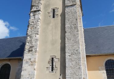
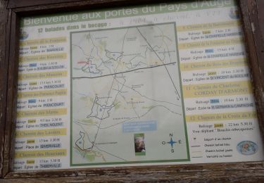
39 photos in total. Please click on a photo to see them all in the gallery.
Walking

Walking
Walking

Walking
Mountain bike

Walking
Walking
Superbe parcours avec nos enfants - totalement dépaysés.