


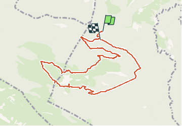


9.8 km | 16.7 km-effort

User


FREE GPS app for hiking
 SityTrail
IGN / Geographical institutes
SityTrail World
The world is yours!
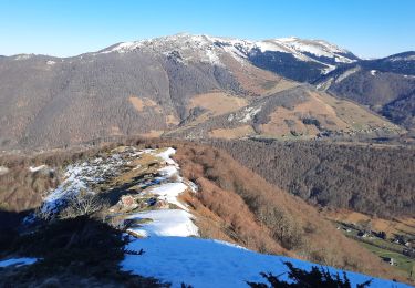
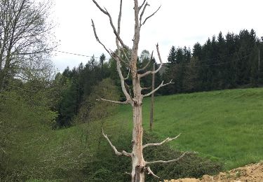
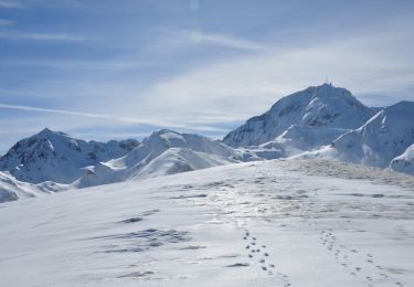
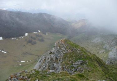
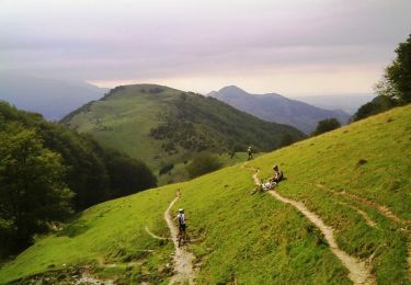
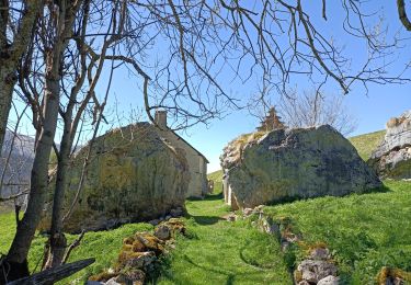
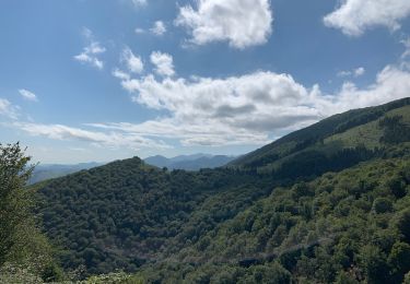
Trail Walking of 11.5 km to be discovered at Occitania, Hautespyrenees, Asque. This trail is proposed by Jef Montagne.


34 photos in total. Please click on a photo to see them all in the gallery.
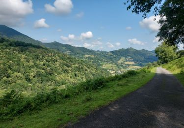
Walking
Walking
Walking
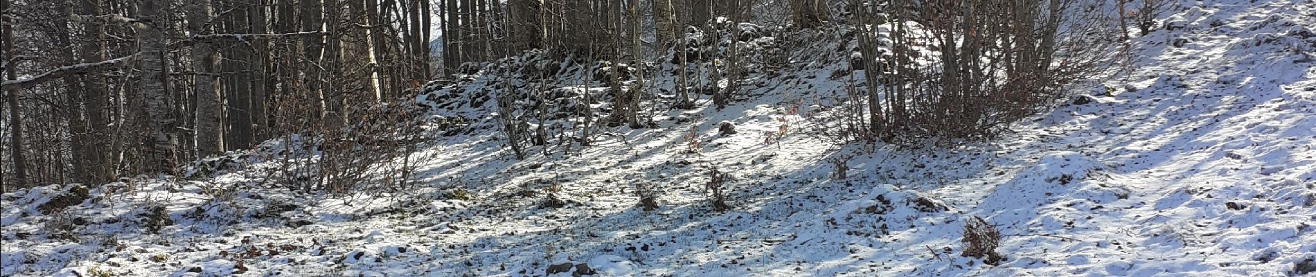
Snowshoes
Walking
Mountain bike
Walking
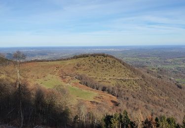
Walking