


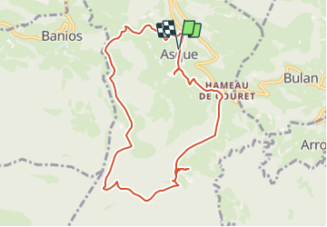

18.5 km | 26 km-effort

User


FREE GPS app for hiking
 SityTrail
IGN / Geographical institutes
SityTrail World
The world is yours!
Trail Walking of 9.8 km to be discovered at Occitania, Hautespyrenees, Asque. This trail is proposed by LouisROGER.
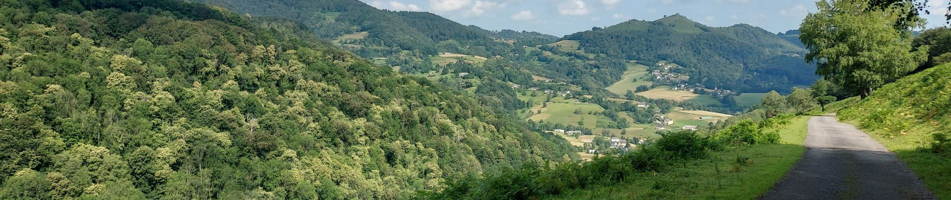
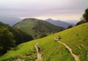
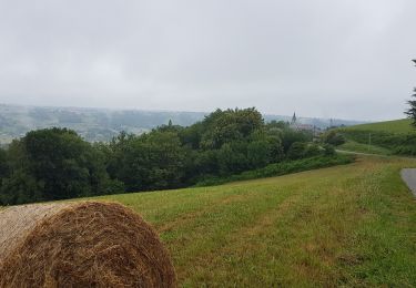
randonnée de piémont chemins et routes beau panorama et pique nique au Soum det Raygade.

Walking
Mountain bike
Walking

Walking
Bicycle tourism
Walking

Walking
Walking