


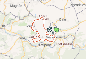

13.4 km | 17.5 km-effort


User GUIDE


FREE GPS app for hiking
 SityTrail
IGN / Geographical institutes
SityTrail World
The world is yours!
Trail Walking of 11.7 km to be discovered at Wallonia, Liège, Olne. This trail is proposed by mumu.larandonneuse.
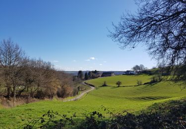
Superbe parcours assez vallonné passant par les hameaux d'Olne avec des magnifiques panoramas.
📌 & 🅿️ derrière l'église.
ℹ sur www.wandelgidszuidlimburg.com rando n° 1409.


Walking


Walking

Walking
Walking

Walking
Walking
Walking

Walking
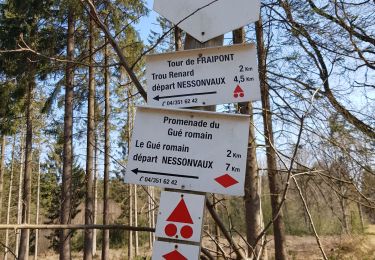
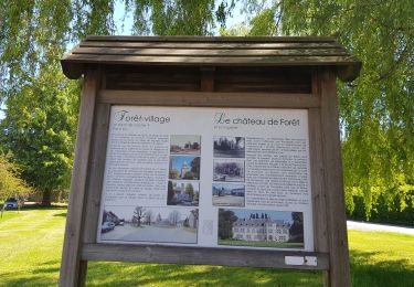
Un passage n’est plus accessible près du village de Forêt mais il suffit de continuer le chemin et passer par le village. Superbe randonnée variée.
Superbe parcours vallonné.