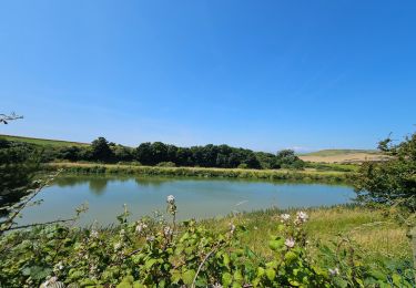
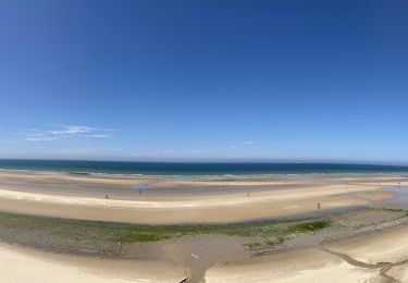
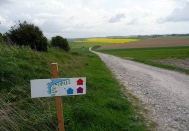
Trail Walking Saint-Inglevert - ballade 2 - Photo
© OpenStreetMap contributors
Length
Length
10.9 km
Max alt
Max alt
161 m
Uphill gradient
Uphill gradient
197 m
Km-Effort
Km-Effort  
13.6 km
Min alt
Min alt
51 m
Downhill gradient
Downhill gradient
199 m
Boucle
Boucle
Yes
Creation date :
2014-12-10 00:00:00.0
Updated on :
2014-12-10 00:00:00.0

(1 Reviews)

Walking
Walking
2h36
Difficulty : Easy

Scan this QR Code to open this trail in the SityTrail application

FREE GPS app for hiking

Logo SityTrail SityTrail

IGN / Geographical institutes

Download SityTrail from the App Store Download SityTrail from Google Play

Logo SityTrail SityTrail World

The world is yours!

Download SityTrail from the App Store Download SityTrail from Google Play Download SityTrail on Huawei AppGallery

About

Trail Walking of 10.9 km to be discovered at Hauts-de-France, Pas-de-Calais, Saint-Inglevert. This trail is proposed by myriamgiot.

Elevation profile

Photos

Points of interest

Point of interest Hervelinghen - Point 1 - Photo
myriamgiot
HERVELINGHEN 

Positioning

Country:
France
Region :
Hauts-de-France
Department/Province :
Pas-de-Calais
Municipality :
Saint-Inglevert
Location:
Unknown
Start:(UTM)
411221 ; 5636103 (31U) N.

Comments

Please log in to post a review or rate the element


Super ballade


Trails nearby

Trail Walking Escalles - ⛺️ Les Érables - Cap Blanc-Nez  - Photo
Walking
GUIDE
mumu.larandonneuse

Walking

Medium
Escalles, Hauts-de-France, Pas-de-Calais, France
6.9 km | 9.3 km-effort
1h 53min
Yes
Trail Mountain bike Leubringhen - Terre des deux caps variante VTT 2 - Photo
Mountain bike
Baltykatt

Mountain bike

Medium
(1)
Leubringhen, Hauts-de-France, Pas-de-Calais, France
36 km | 42 km-effort
2h 50min
Yes
Trail Walking Wissant - Les caps blanc nez: le petit et le grand - Photo
Walking
philippe.vdv

Walking

Difficult
Wissant, Hauts-de-France, Pas-de-Calais, France
14 km | 16.2 km-effort
3h 41min
Yes
Trail On foot Bazinghen - Sentier Les Voyettes - Photo
On foot
GUIDE+

On foot

Easy
Bazinghen, Hauts-de-France, Pas-de-Calais, France
9 km | 11.8 km-effort
2h 41min
Yes
Trail Walking Pihen-lès-Guînes - Sentier des crêtes - Pihen-les-Guînes - Photo
Walking
tracegps

Walking

Medium
(1)
Pihen-lès-Guînes, Hauts-de-France, Pas-de-Calais, France
8.2 km | 9.4 km-effort
2h 4min
Yes
Trail Walking Bonningues-lès-Calais - Chemin de la Folie - Bonningues-les-Calais - Photo
Walking
tracegps

Walking

Medium
Bonningues-lès-Calais, Hauts-de-France, Pas-de-Calais, France
9.8 km | 11.5 km-effort
2h 30min
Yes
Trail Walking Landrethun-le-Nord - Balade des Poissonniers. (Landrethun le Nord) - Photo
Walking
tracegps

Walking

Medium
Landrethun-le-Nord, Hauts-de-France, Pas-de-Calais, France
11.1 km | 13 km-effort
2h 45min
Yes
Trail Mountain bike Hervelinghen - Le Site des 2 Caps - Le Mont de Couple - Photo
Mountain bike
tracegps

Mountain bike

Medium
Hervelinghen, Hauts-de-France, Pas-de-Calais, France
21 km | 26 km-effort
2h 30min
Yes
Trail Walking Hervelinghen - Le Site des 2 Caps - Le Mont de Couple - Photo
Walking
tracegps

Walking

Difficult
Hervelinghen, Hauts-de-France, Pas-de-Calais, France
21 km | 26 km-effort
5h 0min
Yes


Close
My subscriptions