


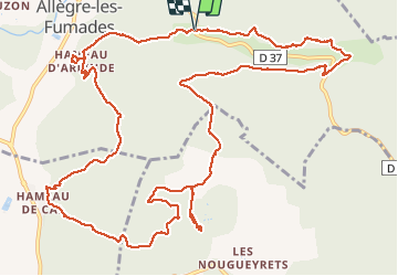


10.4 km | 14.9 km-effort


User


FREE GPS app for hiking
 SityTrail
IGN / Geographical institutes
SityTrail World
The world is yours!
Trail Walking of 16.9 km to be discovered at Occitania, Gard, Allègre-les-Fumades. This trail is proposed by Vero7684.


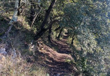
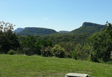
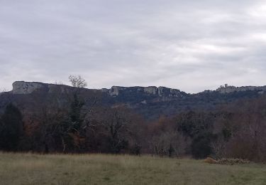
35 photos in total. Please click on a photo to see them all in the gallery.
Walking

Walking
Walking

Walking


Walking
Walking

Walking

Walking
Merci pour vos photos.