


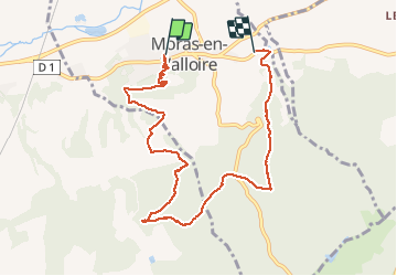

7.9 km | 9.1 km-effort


User


FREE GPS app for hiking
 SityTrail
IGN / Geographical institutes
SityTrail World
The world is yours!
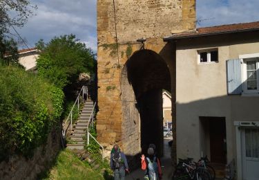
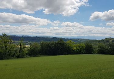
Trail On foot of 8.8 km to be discovered at Auvergne-Rhône-Alpes, Drôme, Moras-en-Valloire. This trail is proposed by meillon.
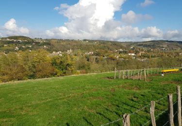
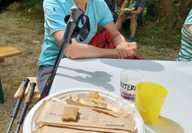
Circuit intéressant dans la campagne du Nord de la Drôme au pays de la poire.
Vue de la Madone un beau panorama et traversée de la forêt de châtaigniers hêtre et charmes ...
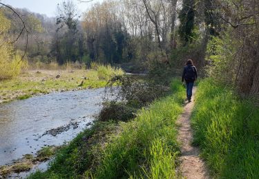
Walking

Walking

Road bike
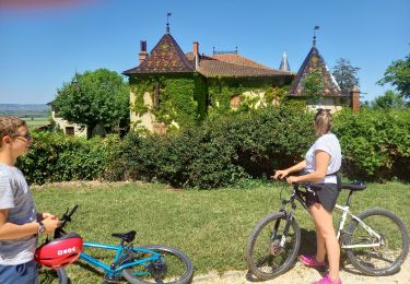
Cycle

Walking
Walking
Walking
Walking
Bicycle tourism