


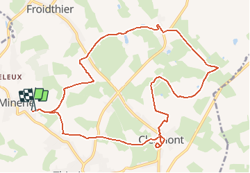

9.5 km | 12.1 km-effort

User GUIDE


FREE GPS app for hiking
 SityTrail
IGN / Geographical institutes
SityTrail World
The world is yours!
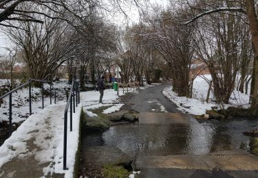
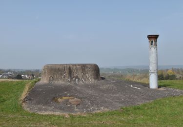
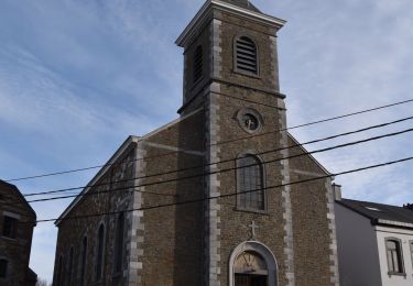
Trail Walking of 11.1 km to be discovered at Wallonia, Liège, Thimister-Clermont. This trail is proposed by mumu.larandonneuse.
Belle sortie dans le Pays de Herve, chemins campagnards, prairies, échaliers, ... et belles vues.
📌 & 🅿️ La Minerie, Befve 14.
ℹ Gpx pris de www.wandelgidszuidlimburg.com n° 1413


Walking

Walking
Walking
Walking

Walking

Walking
Walking
Walking

Walking
Superbe balade à travers prés et routes de campagne. Traversée du joli village de Clermont. Juste un chemin inexistant dans le 1er tiers mais coutournable par la route.
Superbe balade dans les champs autour de Clermont