


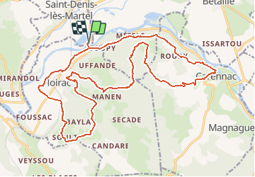


13.7 km | 17.9 km-effort


User


FREE GPS app for hiking
 SityTrail
IGN / Geographical institutes
SityTrail World
The world is yours!
Trail Mountain bike of 27 km to be discovered at Occitania, Lot, Saint-Denis-lès-Martel. This trail is proposed by Gpoujade.
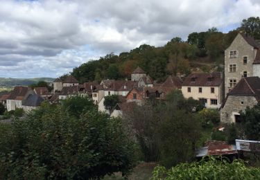
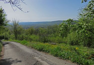
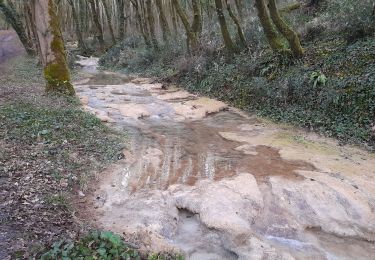
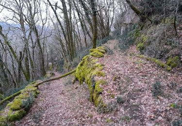
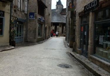
Au départ du pont suspendu de Pontou (grand parking), prenez la direction de Floirac. Après une première montée assez technique, qui vous offrira de jolis points de vue, redescendez vers Floirac puis remonter sur le plateau par un chemin qui longe le magnifique ruisseau de Caillon (vasques calcaires). Une petite halte à Carennac puis un superbe chemin vous mènera à Mézels... Bonne balade !
Ps : pour des montées plus faciles à VTT, faire ce circuit dans l'autre sens

Walking
Walking
Walking
Walking

Walking
Walking

Walking
Superbe randonnée.