Trail Walking Veyrier-du-Lac - Mont Baret - Photo
© OpenStreetMap contributors
Length
Length
10.4 km
Max alt
Max alt
1233 m
Uphill gradient
Uphill gradient
833 m
Km-Effort
Km-Effort  
22 km
Min alt
Min alt
533 m
Downhill gradient
Downhill gradient
908 m
Boucle
Boucle
No
Creation date :
2021-03-22 12:16:17.935
Updated on :
2021-03-22 18:07:05.662

(0 Reviews)

Walking
Walking
3h28
Difficulty : Very easy

Scan this QR Code to open this trail in the SityTrail application

FREE GPS app for hiking

Logo SityTrail SityTrail

IGN / Geographical institutes

Download SityTrail from the App Store Download SityTrail from Google Play

Logo SityTrail SityTrail World

The world is yours!

Download SityTrail from the App Store Download SityTrail from Google Play Download SityTrail on Huawei AppGallery

About

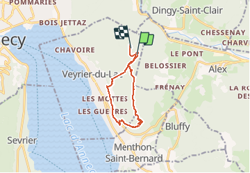
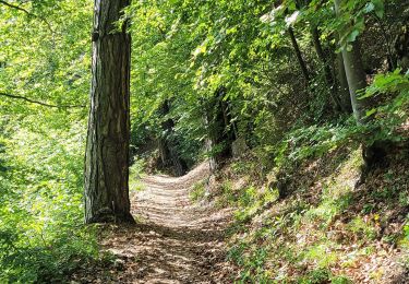
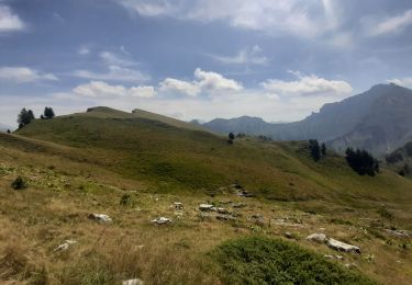
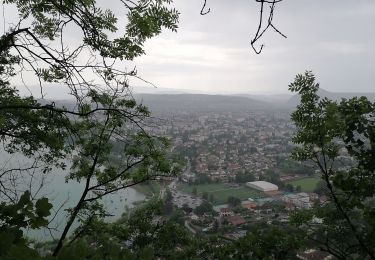
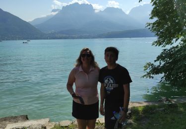
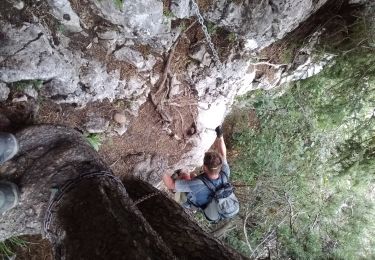
Trail Walking of 10.4 km to be discovered at Auvergne-Rhône-Alpes, Upper Savoy, Veyrier-du-Lac. This trail is proposed by Ckikiplus.

Description

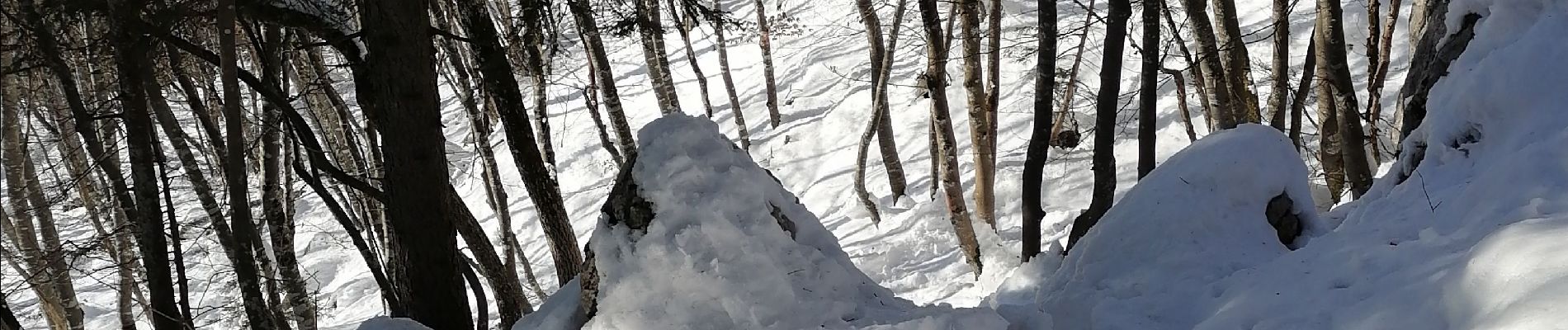
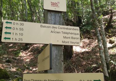
Depuis col des contrebandiers,descente vers Veryier.contournemt et tour du Mont Baret.

Elevation profile

Photos

Positioning

Country:
France
Region :
Auvergne-Rhône-Alpes
Department/Province :
Upper Savoy
Municipality :
Veyrier-du-Lac
Location:
Unknown
Start:(UTM)
282578 ; 5086075 (32T) N.

Trails nearby

Trail Mountain bike Annecy - semnoz 31 8 10 - Photo
Mountain bike
lmourier

Mountain bike

Very easy
(1)
Annecy, Auvergne-Rhône-Alpes, Upper Savoy, France
31 km | 48 km-effort
Unknown
Yes
Trail Walking Talloires-Montmin - Annecy - Photo
Walking
fredo155

Walking

Difficult
Talloires-Montmin, Auvergne-Rhône-Alpes, Upper Savoy, France
10.4 km | 14.2 km-effort
2h 53min
Yes
Trail Walking Veyrier-du-Lac - 74 Mt Veyrier 26.06.23 - Photo
Walking
himba26100

Walking

Medium
Veyrier-du-Lac, Auvergne-Rhône-Alpes, Upper Savoy, France
8.1 km | 18.5 km-effort
4h 19min
Yes
Trail Walking Annecy - 260523 Monr Veyrier - Photo
Walking
mzonzon05

Walking

Difficult
Annecy, Auvergne-Rhône-Alpes, Upper Savoy, France
12.6 km | 25 km-effort
4h 24min
Yes
Trail Walking Talloires-Montmin - BORNES: UN PEU DE DENIVELE AU DEPART DE PLANFAIT - Photo
Walking
djeepee74

Walking

Difficult
Talloires-Montmin, Auvergne-Rhône-Alpes, Upper Savoy, France
16.6 km | 35 km-effort
5h 23min
Yes
Trail Walking Annecy - course avec tobias - Photo
Walking
Ckikiplus

Walking

Medium
Annecy, Auvergne-Rhône-Alpes, Upper Savoy, France
9.9 km | 13.7 km-effort
1h 40min
Yes
Trail On foot Dingy-Saint-Clair - PR Boucle du Parmelan - Photo
On foot
PRO

On foot

Medium
Dingy-Saint-Clair, Auvergne-Rhône-Alpes, Upper Savoy, France
11.3 km | 25 km-effort
5h 38min
No
Trail Bicycle tourism Veyrier-du-Lac - tour du lac d annecy - Photo
Bicycle tourism
Bugeat

Bicycle tourism

Very difficult
Veyrier-du-Lac, Auvergne-Rhône-Alpes, Upper Savoy, France
39 km | 45 km-effort
2h 57min
Yes
Trail Walking Alex - trou de la chapelle (Alex) - Photo
Walking
nadd73

Walking

Medium
Alex, Auvergne-Rhône-Alpes, Upper Savoy, France
8.3 km | 19.8 km-effort
4h 20min
Yes


Close
My subscriptions