


Romarins Tour de Thuir

Phidel66
User

Length
8.4 km

Max alt
104 m

Uphill gradient
42 m
Km-Effort
9 km

Min alt
86 m

Downhill gradient
41 m
Boucle
No
Creation date :
2021-03-23 12:24:15.004
Updated on :
2021-03-23 12:35:41.962
2h01
Difficulty : Medium

FREE GPS app for hiking
 SityTrail
IGN / Geographical institutes
SityTrail Plus
The world is yours!
About
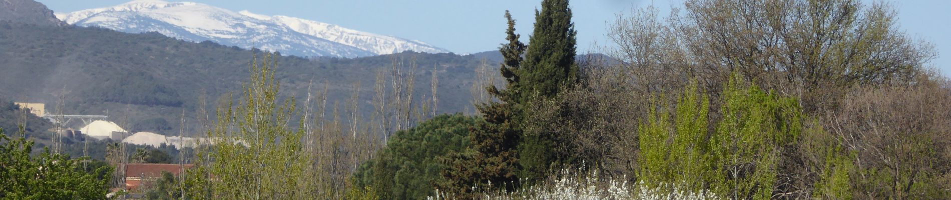
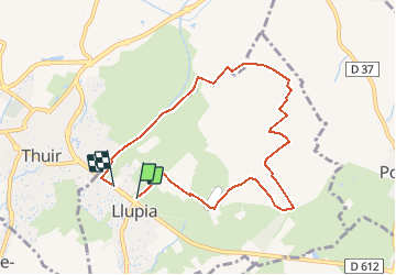
Trail Walking of 8.4 km to be discovered at Occitania, Pyrénées-Orientales, Llupia. This trail is proposed by Phidel66.
Description
Romarins
Photos

Positioning
Country:
France
Region :
Occitania
Department/Province :
Pyrénées-Orientales
Municipality :
Llupia
Location:
Unknown
Start:(Dec)
Start:(UTM)
481202 ; 4719112 (31T) N.
Comments