


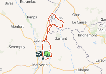

15.1 km | 18.8 km-effort


User


FREE GPS app for hiking
 SityTrail
IGN / Geographical institutes
SityTrail World
The world is yours!
Trail Mountain bike of 29 km to be discovered at Occitania, Gers, Mauvezin. This trail is proposed by lorenzot54.
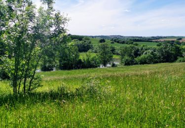
Rando par lesPR en longeant le ruisseau, très belle vue sur le massif de Pyrénées après Maubec.
On foot
Running

Mountain bike
On foot

Mountain bike

Walking
Mountain bike
Walking