


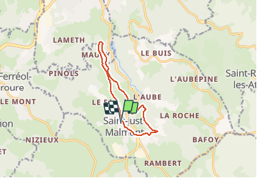

9.8 km | 13 km-effort


User


FREE GPS app for hiking
 SityTrail
IGN / Geographical institutes
SityTrail World
The world is yours!
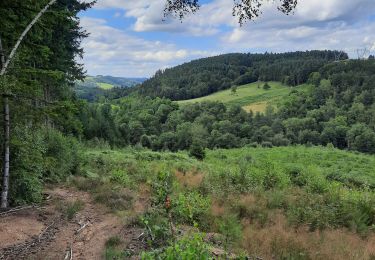
Trail Walking of 10.6 km to be discovered at Auvergne-Rhône-Alpes, Haute-Loire, Saint-Just-Malmont. This trail is proposed by LAZOUZE.
lazalier.chemin de la scie.vieille route.les sagnes.la chaize.jurine.centre
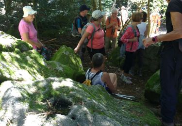
Walking

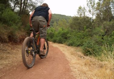
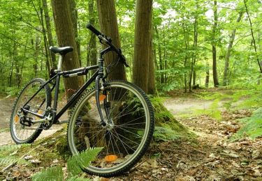
Mountain bike
Walking
Walking
Walking

Walking
Mountain bike
Mountain bike
Mountain bike