


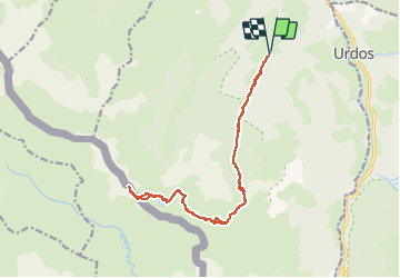


16.9 km | 30 km-effort

User


FREE GPS app for hiking
 SityTrail
IGN / Geographical institutes
SityTrail World
The world is yours!
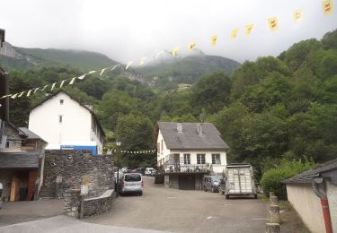
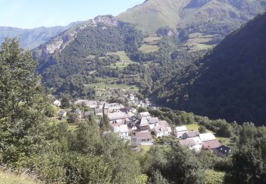
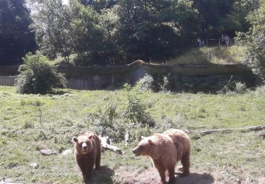
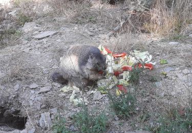
Trail Walking of 17.1 km to be discovered at New Aquitaine, Pyrénées-Atlantiques, Borce. This trail is proposed by neoroll44.
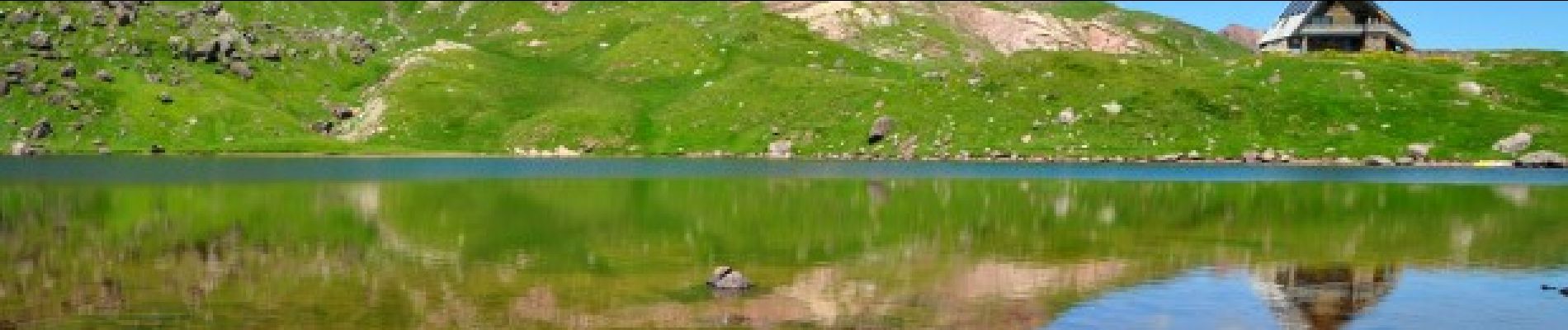
Le lac et le refuge d’Arlet (1986m) est tout à la fois un but pour les marcheurs et une escale pour les grands randonneurs suivant la HRP.

Snowshoes

Walking

Walking
On foot
On foot
On foot
On foot
On foot
On foot