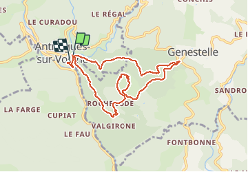
Château de Craux par Genestelle,

dcharbonnier
User

Length
8.8 km

Max alt
674 m

Uphill gradient
330 m
Km-Effort
13.1 km

Min alt
396 m

Downhill gradient
305 m
Boucle
Yes
Creation date :
2021-03-28 09:16:00.564
Updated on :
2021-03-28 13:31:49.899
4h06
Difficulty : Easy

FREE GPS app for hiking
 SityTrail
IGN / Geographical institutes
SityTrail Plus
The world is yours!
About
Trail Walking of 8.8 km to be discovered at Auvergne-Rhône-Alpes, Ardèche, Vallées-d'Antraigues-Asperjoc. This trail is proposed by dcharbonnier.
Description
Éboulis de basalte (clapàs) Krest Volcanique. retour par le pont de la Volane.
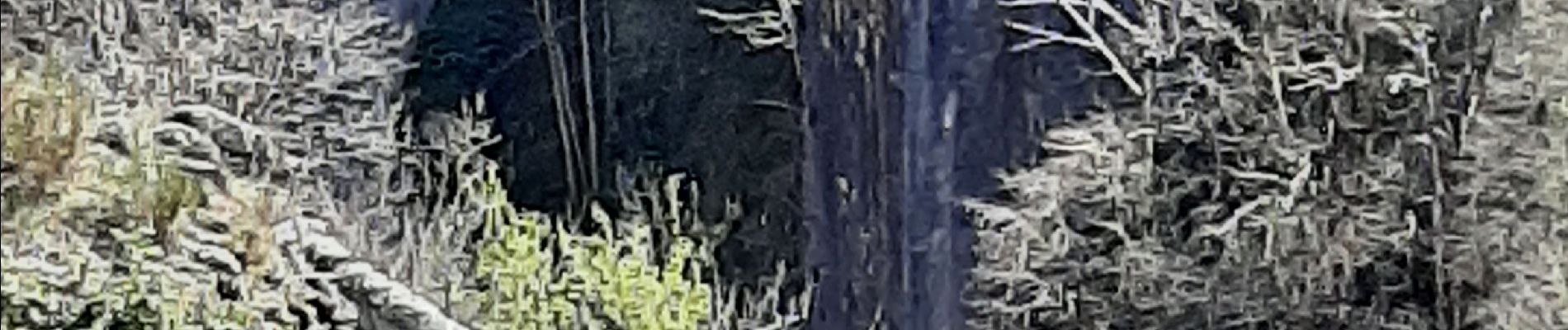
Photos


Positioning
Country:
France
Region :
Auvergne-Rhône-Alpes
Department/Province :
Ardèche
Municipality :
Vallées-d'Antraigues-Asperjoc
Location:
Antraigues-sur-Volane
Start:(Dec)
Start:(UTM)
607731 ; 4952563 (31T) N.
Comments