


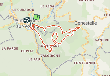


14.1 km | 24 km-effort


User


FREE GPS app for hiking
 SityTrail
IGN / Geographical institutes
SityTrail World
The world is yours!
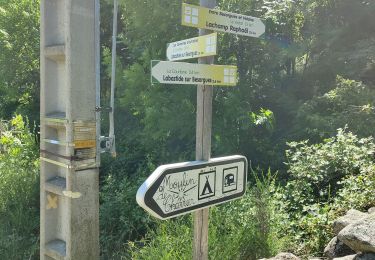
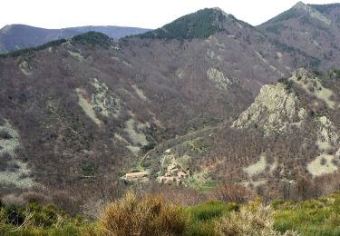
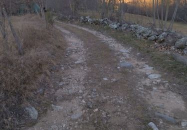
Trail Walking of 8.8 km to be discovered at Auvergne-Rhône-Alpes, Ardèche, Vallées-d'Antraigues-Asperjoc. This trail is proposed by dcharbonnier.
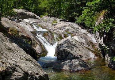
Éboulis de basalte (clapàs) Krest Volcanique. retour par le pont de la Volane.


Walking

Walking
Walking

Walking
Walking
Walking
Walking
Walking
Walking