Trail Walking Champoléon - Cabane et vallon de Vallestreche - Photo

Cabane et vallon de Vallestreche

© OpenStreetMap contributors
Length
Length
8.2 km
Max alt
Max alt
1985 m
Uphill gradient
Uphill gradient
641 m
Km-Effort
Km-Effort  
16.7 km
Min alt
Min alt
1339 m
Downhill gradient
Downhill gradient
640 m
Boucle
Boucle
Yes
Creation date :
2015-05-02 00:00:00.0
Updated on :
2015-05-02 00:00:00.0

(1 Reviews)

Walking
Walking
3h35
Difficulty : Medium

Scan this QR Code to open this trail in the SityTrail application

FREE GPS app for hiking

Logo SityTrail SityTrail

IGN / Geographical institutes

Download SityTrail from the App Store Download SityTrail from Google Play

Logo SityTrail SityTrail Plus

The world is yours!

Download SityTrail from the App Store Download SityTrail from Google Play Download SityTrail on Huawei AppGallery

About

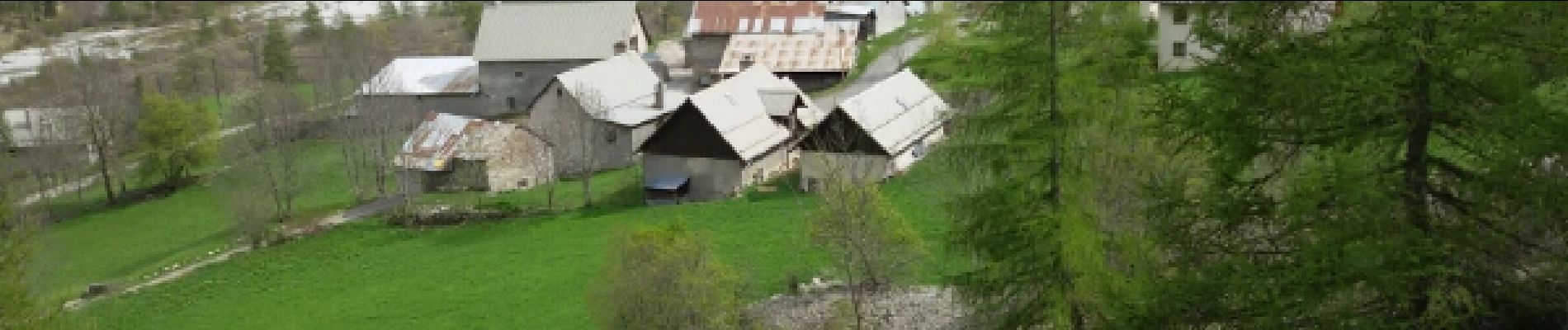
Trail Walking of 8.2 km to be discovered at Provence-Alpes-Côte d'Azur, Hautes-Alpes, Champoléon. This trail is proposed by Dervalmarc.

Description

passage du verrou exposé et très raide . Peut présenter une réelle difficulté en début de saison. Faune sauvage abondante marmotte , chamois, bouquetin.

Elevation profile

Photos

22 photos in total. Please click on a photo to see them all in the gallery.
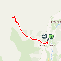
Points of interest

Point of interest Champoléon - Point 22 - Photo
Dervalmarc
CHAMPOLÉON 

Positioning

Country:
France
Region :
Provence-Alpes-Côte d'Azur
Department/Province :
Hautes-Alpes
Municipality :
Champoléon
Location:
Unknown
Start:(UTM)
282154 ; 4957714 (32T) N.

Comments

Please log in to post a review or rate the element


Close
My subscriptions