Trail Walking Villers-le-Bouillet - GR 579 : Fize-Fontaine => Liège - Photo

GR 579 : Fize-Fontaine => Liège

© OpenStreetMap contributors
Length
Length
36 km
Max alt
Max alt
208 m
Uphill gradient
Uphill gradient
605 m
Km-Effort
Km-Effort  
45 km
Min alt
Min alt
62 m
Downhill gradient
Downhill gradient
709 m
Boucle
Boucle
No
Creation date :
10/12/2014 00:00
Updated on :
10/12/2014 00:00

(1 Reviews)

Walking
Walking
9h30
Difficulty : Medium

Scan this QR Code to open this trail in the SityTrail application

FREE GPS app for hiking

Logo SityTrail SityTrail

IGN / Geographical institutes

Download SityTrail from the App Store Download SityTrail from Google Play

Logo SityTrail SityTrail Plus

The world is yours!

Download SityTrail from the App Store Download SityTrail from Google Play Download SityTrail on Huawei AppGallery

About

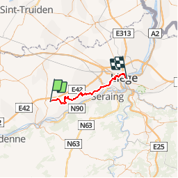
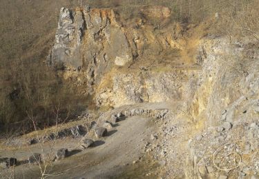
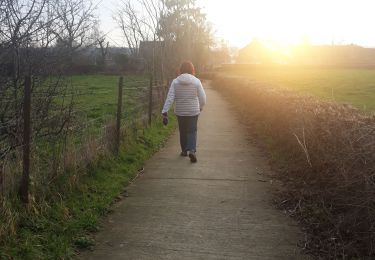
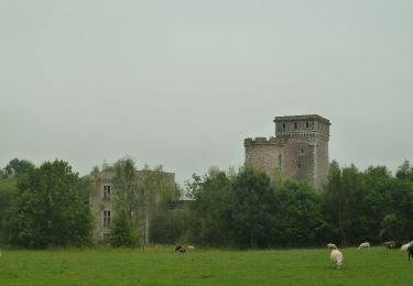
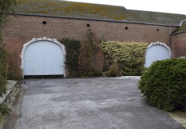
Trail Walking of 36 km to be discovered at Wallonia, Liège, Villers-le-Bouillet. This trail is proposed by jojolemarcheur.

Description

GR 579 : Bruxelles => Liège

Elevation profile

Positioning

Country:
Belgium
Region :
Wallonia
Department/Province :
Liège
Municipality :
Villers-le-Bouillet
Location:
Fize-Fontaine
Start:(UTM)
661522 ; 5606097 (31U) N.

Comments

Please log in to post a review or rate the element


Close
My subscriptions