


Cingle de Monfort

Ajax44
User
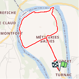

Length
4.7 km

Max alt
107 m

Uphill gradient
51 m
Km-Effort
5.4 km

Min alt
73 m

Downhill gradient
51 m
Boucle
Yes
Creation date :
2014-12-10 00:00:00.0
Updated on :
2014-12-10 00:00:00.0
1h12
Difficulty : Unknown

FREE GPS app for hiking
 SityTrail
IGN / Geographical institutes
SityTrail Plus
The world is yours!
About
Trail Walking of 4.7 km to be discovered at New Aquitaine, Dordogne, Domme. This trail is proposed by Ajax44.
Description
Boucle dans le Cingle de Monfort, vue du chateau de monfort du lit de la Dordogne
Possibilité de parking a la ferme
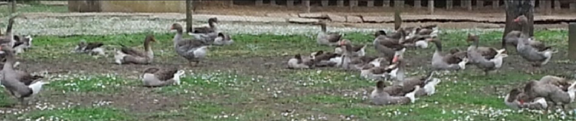
Photos


Positioning
Country:
France
Region :
New Aquitaine
Department/Province :
Dordogne
Municipality :
Domme
Location:
Unknown
Start:(Dec)
Start:(UTM)
362614 ; 4965581 (31T) N.
Comments