


8.4 km | 10 km-effort

User


FREE GPS app for hiking
 SityTrail
IGN / Geographical institutes
SityTrail World
The world is yours!
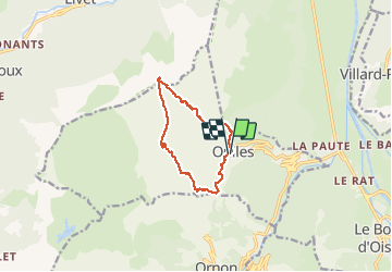
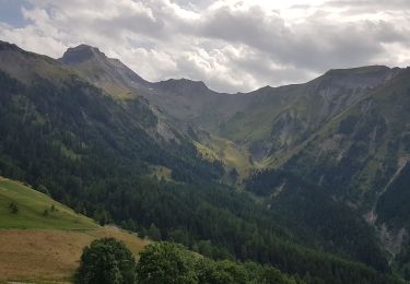
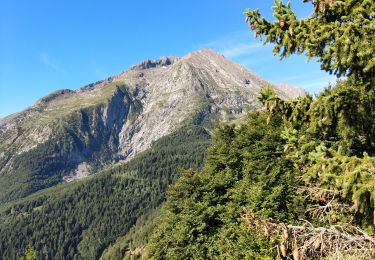
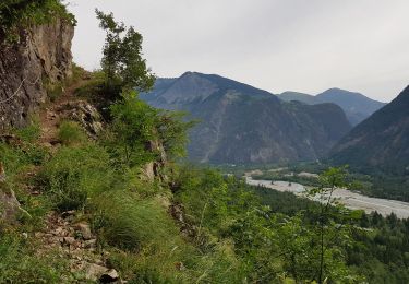
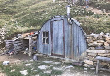
Trail Touring skiing of 10.2 km to be discovered at Auvergne-Rhône-Alpes, Isère, Oulles. This trail is proposed by nadd73.
De oulles.
Belle route étroite et sinueuse.
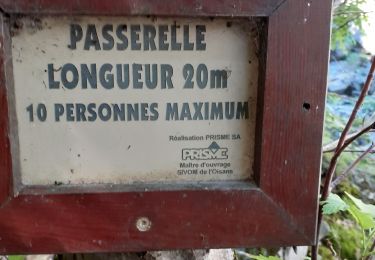
Portage sur 200m à la montée et moins à la descente.


Walking
Walking
Walking
Walking
Walking
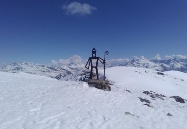
Touring skiing
Walking
Walking
Walking