


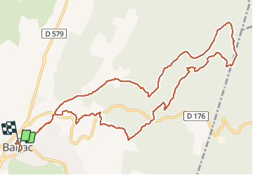

16.9 km | 24 km-effort


User


FREE GPS app for hiking
 SityTrail
IGN / Geographical institutes
SityTrail World
The world is yours!
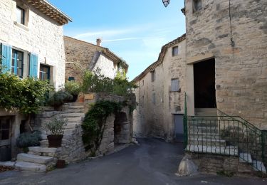
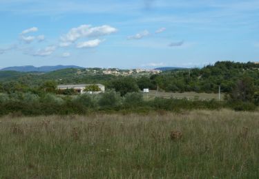
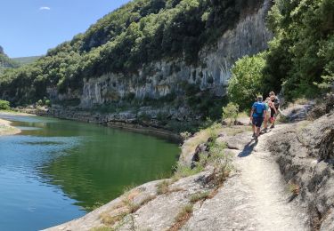
Trail Walking of 14.2 km to be discovered at Occitania, Gard, Barjac. This trail is proposed by MG3.
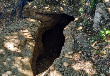
Belle ballade sur les sentiers, entre dolmens et capitelles, autour de Barjac,.
Walking

Walking
On foot

Walking
Walking
Walking

Mountain bike

Walking
Walking