


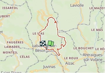

11.5 km | 17.1 km-effort

User


FREE GPS app for hiking
 SityTrail
IGN / Geographical institutes
SityTrail World
The world is yours!
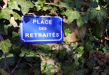
Trail Walking of 12.9 km to be discovered at Auvergne-Rhône-Alpes, Ardèche, Labastide-sur-Bésorgues. This trail is proposed by dcharbonnier.
beau tour des fay (hêtres) 1266 m au faîte de la balade. Soyez bien chaussés.


Walking
Walking
Walking
Walking
Walking

Walking

Walking
Walking
Walking